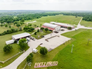
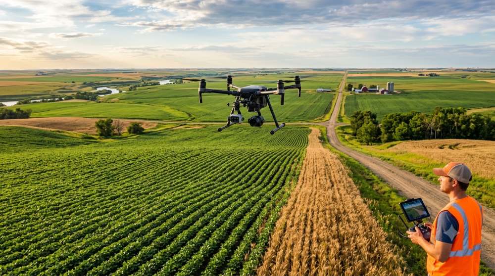
North Dakota is one of the most productive farming states in the country — and it shows from the sky. Thousands of acres of wheat, canola, sunflowers, and soybeans stretch to every horizon. For farmers, ag consultants, and landowners across Minot, Bismarck, Williston, and the Red River Valley, agricultural drone photography has quietly become one of the most practical tools in the field.
This guide walks you through what aerial farm photography actually does, where it makes the biggest difference, and how North Dakota operations are using it right now.
- Why aerial photography fits North Dakota agriculture
- What drone cameras actually capture on a farm
- Key use cases: crop monitoring, field mapping, and more
- Drone photography for land sales and appraisals
- Working with a local North Dakota drone photographer
- How to get started with Foltz Photo
Why North Dakota farmland and drone photography go hand in hand
The geography here is the reason. North Dakota averages just 11 people per square mile — which means open airspace, flat terrain, and enormous fields that are genuinely difficult to assess from the ground. A scouting walk that takes two hours on foot takes under twenty minutes from the air. That’s time back in your day, and better data to work with.
The state leads the country in production of durum wheat, canola, dry edible peas, and flaxseed. Farms in counties like Ward, Burleigh, Cass, and Williams routinely run several hundred acres each. At that scale, visual crop monitoring from a drone pays for itself quickly.
What a drone camera actually captures on a farm
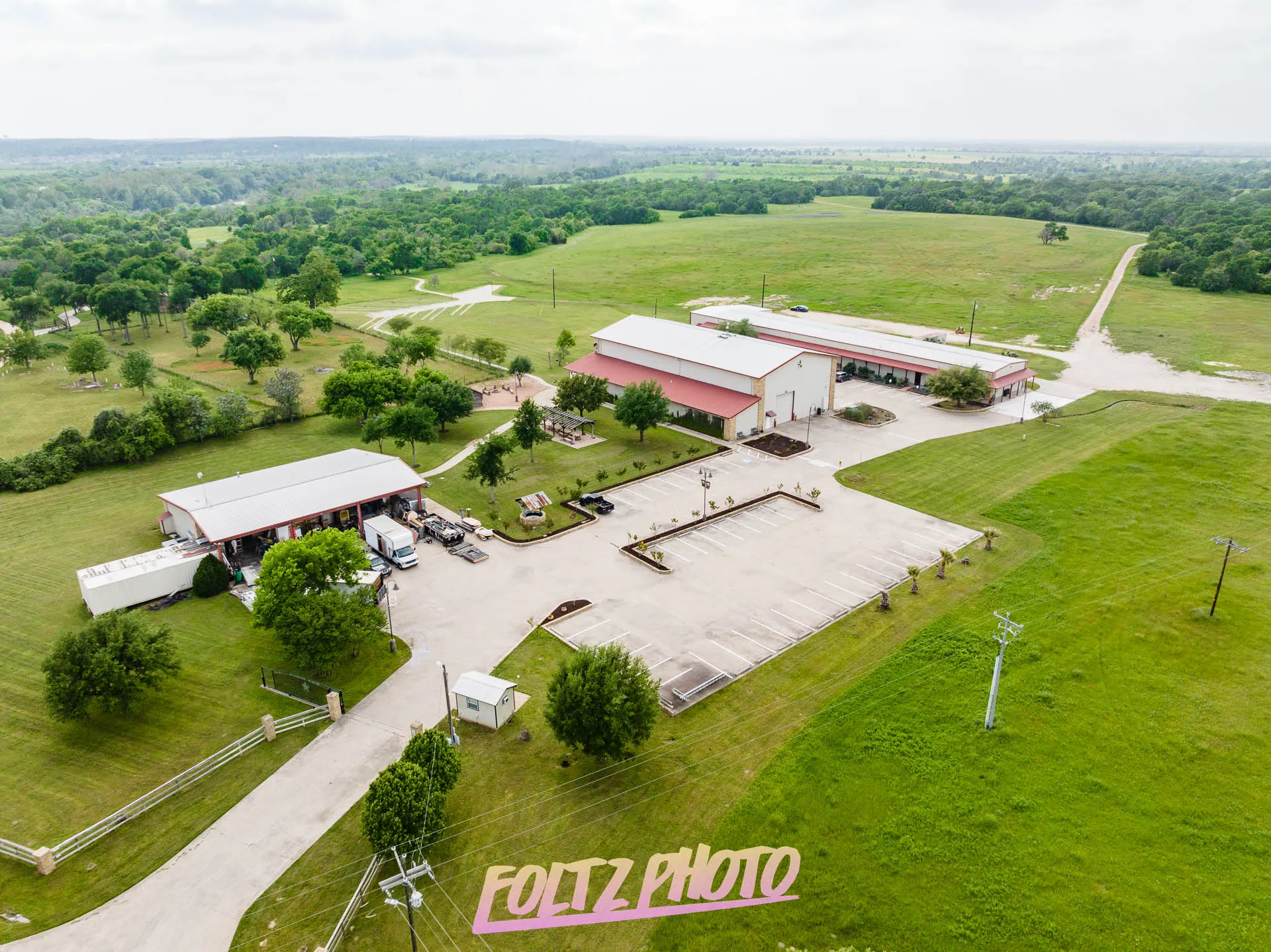
Consumer-grade drone footage looks great. Professional agricultural drone photography is a different category. High-resolution sensors can distinguish between healthy and stressed crops, identify areas where irrigation is uneven, and map drainage patterns across an entire quarter section in a single flight.
Here’s what gets captured during a standard flight over North Dakota farmland:
Crop health and stand density
Water pooling and drainage
Field boundary mapping
Pest and weed pressure
Structure and infrastructure
Marketing and listing imagery
Crop scouting and field monitoring from the air
Early-season scouting is one of the highest-value uses of agricultural drone photography in North Dakota. By mid-May, farmers across the Minot area and the Devils Lake basin are already wondering about stand establishment after a tough winter or a wet spring. A drone flight over a wheat or barley field gives you a clear picture within hours — not a rough estimate from walking the edge rows.
Agronomists working with farms near Dickinson, Jamestown, and Fargo have started combining drone imagery with their field notes to document problem areas across multiple seasons. That kind of visual record becomes valuable when you’re making seeding rate, fertilizer, or herbicide decisions the following year.
This is also where the documentation value of drone photography really shows up — the same aerial record-keeping approach that works on construction projects applies directly to farm field monitoring across growing seasons.
Land sales, appraisals, and FSA documentation
North Dakota farmland has seen significant valuation changes over the past decade. When a quarter section comes to market in Ward County or McLean County, buyers want to see the whole picture — not just a few ground-level photos. Aerial imagery shows drainage, field shape, shelter belt condition, and access routes in a way that no other photo type can.
Land brokers across the state have found that listings with professional aerial photography spend less time on the market. That’s true for bare cropland, hobby farms outside Minot, and larger irrigated operations near the Missouri River corridor.
For FSA documentation and crop insurance records, aerial photos also provide the kind of timestamped, georeferenced evidence that protects producers when claims need to be supported.
Local insight: If you’re selling or refinancing farmland in western North Dakota, aerial photography is increasingly expected by ag lenders and appraisers — not just a nice-to-have. Foltz Photo serves operations across Minot, Williston, Watford City, and the surrounding counties.
Thinking about how aerial imagery fits into a broader property marketing strategy? See how aerial photography helps sell commercial properties faster — many of the same principles apply to agricultural land listings.
Drone photography for large-scale North Dakota farm operations
Industrial-scale grain and oilseed operations have specific needs that go beyond basic crop scouting. If you’re managing several thousand acres across multiple townships, documentation is part of your operation — not an afterthought.
Drone photography for large industrial sites covers the same workflow: systematic flight plans, consistent altitude and overlap for photomapping, and organized deliverables that are usable in farm management software.
Grain bin inventories, pivot coverage verification, tile line mapping, and spring flood assessment are all tasks where a single drone flight produces more reliable data than a day of ground work. For operations that move equipment across county roads and maintain multiple farmsteads, having current aerial imagery on hand also helps with logistics planning and neighbor communications.
Working with a North Dakota drone photographer who knows the state
There’s a real difference between hiring a drone operator who flies occasionally and working with a photographer who understands agriculture, North Dakota weather windows, and the specific challenges of shooting over active farmland.
Spring and early fall are the busiest times for agricultural aerial work in the state — and also the most weather-dependent. Wind, cloud cover, and the narrow windows between rain events all affect when flights can happen and what quality of imagery you’ll get. A local photographer knows how to work around those constraints.
At Foltz Photo, we’re based in Minot and work across North Dakota. We understand what farmers and land managers actually need from aerial photography — not just pretty shots, but usable documentation that holds up for insurance, sales, and operational decisions. Learn more about the team and how we approach every project.