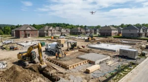
Construction projects move fast. Timelines shift, crews rotate, and progress can look very different from the ground than it does across the full job site. Whether you’re managing a commercial build, industrial expansion, infrastructure project, or multi-phase development, accurate project tracking has become essential for staying on schedule and protecting budgets.
Traditional site reporting methods, manual inspections, written updates, and ground-level photos still have value. But they often fail to show the complete picture.
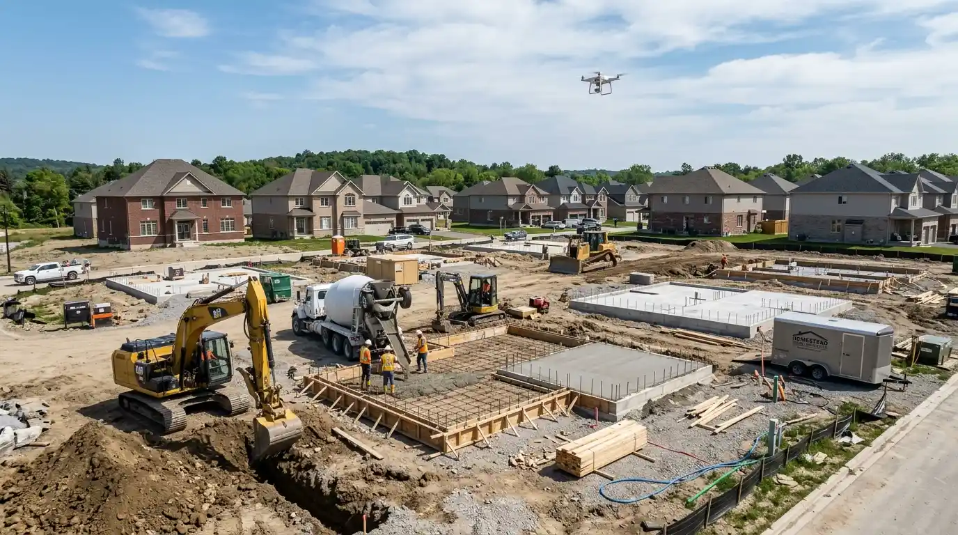
That’s why more contractors, developers, project managers, and property owners are turning to drone photography.
Professional drone photography creates a visual record of construction progress from above, helping teams monitor milestones, improve communication, reduce delays, and document every stage of a project with greater accuracy.
If your team needs reliable construction progress documentation, FoltzPhoto provides professional aerial photography and visual tracking services designed to support construction teams with clear, consistent, high-quality project visibility.
Why Construction Project Tracking Matters More Than Ever
Construction projects involve multiple moving parts:
- Contractors and subcontractors
- Equipment scheduling
- Material deliveries
- Budget management
- Safety compliance
- Client communication
- Regulatory reporting
- Project milestones
Without reliable documentation, small issues can turn into expensive delays.
Project tracking helps construction teams:
- Monitor progress against timelines
- Identify bottlenecks early
- Verify completed work
- Improve accountability
- Create historical project records
- Support stakeholder reporting
The challenge is capturing all of this efficiently.
That’s where drone photography becomes a major advantage.
What Is Construction Drone Photography?
Construction drone photography uses professional unmanned aerial systems (UAS) to capture high-resolution aerial images and video throughout the lifecycle of a project.
Instead of relying solely on ground photography, drone coverage provides:
- Site-wide visibility
- Repeatable progress documentation
- High-detail aerial imagery
- Visual comparison over time
- Faster inspection workflows
Drone sessions can be scheduled weekly, biweekly, monthly, or aligned with major construction milestones.
1. Provides a Complete View of the Entire Job Site
Ground photos only show isolated portions of a project.
Drone photography gives decision-makers a complete overview.
This aerial perspective helps teams:
- Understand site layout
- Track equipment placement
- Monitor material staging
- Evaluate workflow efficiency
- Spot congestion areas
When stakeholders can see the entire construction environment at once, decision-making becomes faster and more informed.
For large commercial or industrial sites, especially, this visibility becomes difficult to achieve any other way.
2. Makes Progress Tracking More Accurate
Construction reporting often relies on written summaries and scattered images.
Drone photography transforms reporting into visual proof.
With scheduled aerial captures, teams can compare:
- Week-to-week changes
- Structural progress
- Earthmoving completion
- Exterior build phases
- Infrastructure installation
Instead of asking:
“Are we on schedule?”
Teams can actually see the answer.
This creates stronger project accountability and clearer communication.
3. Helps Identify Delays Before They Become Expensive
Construction delays rarely happen all at once.
Most delays begin as small issues:
- Material shortages
- Equipment conflicts
- Slow crew progress
- Access limitations
- Site congestion
Drone documentation reveals developing issues earlier.
Project managers can:
- Compare actual work against timelines
- Detect slow-moving areas
- Adjust scheduling
- Reallocate resources
Early visibility often prevents expensive corrections later.
4. Improves Communication With Clients and Stakeholders
One of the biggest construction challenges is keeping everyone informed.
Clients want updates.
Executives want visibility.
Investors want documentation.
Drone photography simplifies communication.
Instead of lengthy reports, stakeholders receive:
- Professional aerial progress images
- Before-and-after comparisons
- Milestone updates
- Visual status summaries
This reduces misunderstandings and creates greater confidence throughout the project.
5. Creates Reliable Historical Documentation
Construction records matter long after completion.
Aerial documentation creates a permanent archive of:
- Site conditions
- Construction phases
- Installed systems
- Milestone completion
- Project evolution
These records become valuable for:
- Marketing
- Warranty discussions
- Insurance documentation
- Future expansion planning
- Portfolio development
Years later, teams still have access to professionally documented progress.
6. Supports Safer Monitoring Practices
Construction environments can contain:
- Active equipment
- Elevated structures
- Restricted access areas
- Uneven terrain
Drone photography reduces the need for frequent physical site access.
Project leaders can inspect broader areas visually without interrupting operations.
While drones don’t replace formal safety procedures, they help reduce unnecessary exposure during documentation activities.
7. Makes Construction Reporting Look More Professional
Professional documentation influences perception.
Clear aerial imagery helps construction companies present projects more effectively.
Drone assets can be used for:
- Client reports
- Investor presentations
- Proposal packages
- Website portfolios
- Marketing campaigns
Professional visuals reinforce credibility.
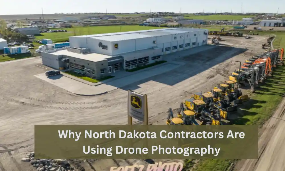
What Types of Construction Projects Benefit Most?
Drone photography works especially well for:
Commercial Construction
Track large developments from groundbreaking to completion.
Industrial Projects
Monitor infrastructure, logistics, and facility expansion.
Infrastructure Development
Document roads, utilities, and site preparation.
Multi-Phase Builds
Compare progress across separate stages.
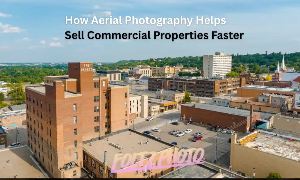
Real Estate Development
Show transformation and communicate value to stakeholders.
Why Professional Drone Photography Matters
Consumer drone footage may look impressive.
Professional construction documentation delivers something different:
- Consistent flight paths
- Commercial-grade image quality
- Scheduled tracking
- Organized file delivery
- Regulatory compliance
- Project-focused storytelling
Reliable project tracking depends on consistency—not occasional snapshots.
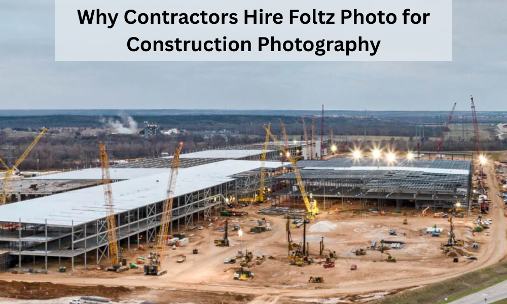
Why Construction Teams Choose FoltzPhoto
Construction documentation requires more than flying a drone.
FoltzPhoto helps businesses create dependable visual records that support planning, communication, and project oversight.
Construction teams work with FoltzPhoto for:
- Professional aerial photography and videography
- Construction progress documentation
- Commercial project coverage
- Consistent milestone tracking
- High-resolution deliverables
- Visual assets for reporting and marketing
Whether you’re documenting a commercial build, industrial project, or long-term development, professional aerial coverage can provide better visibility from day one through project completion.
Final Thoughts
Construction project tracking has evolved.
Modern teams need faster reporting, clearer communication, and better visibility across every stage of development.
Drone photography helps transform construction updates into measurable visual progress.
From improving oversight and identifying delays to strengthening stakeholder communication, aerial documentation gives construction teams an advantage that traditional methods often cannot match.
If your project requires dependable aerial progress tracking and professional construction photography, FoltzPhoto can help capture the full story of your build—accurately, consistently, and professionally.
Frequently Asked Questions
How often should construction drone photography be scheduled?
Most projects benefit from weekly, biweekly, or milestone-based sessions, depending on pace and reporting requirements.
Can drone photography replace site inspections?
No. Drone photography complements inspections by improving visibility and documentation.
Is drone documentation useful for small projects?
Yes. Even smaller projects benefit from improved communication and progress records.
What deliverables are usually included?
Typical deliverables include aerial photos, progress videos, milestone documentation, and organized digital files.
Can drone footage be used for marketing after project completion?
Absolutely. Many contractors repurpose construction imagery for websites, proposals, and future business development.