
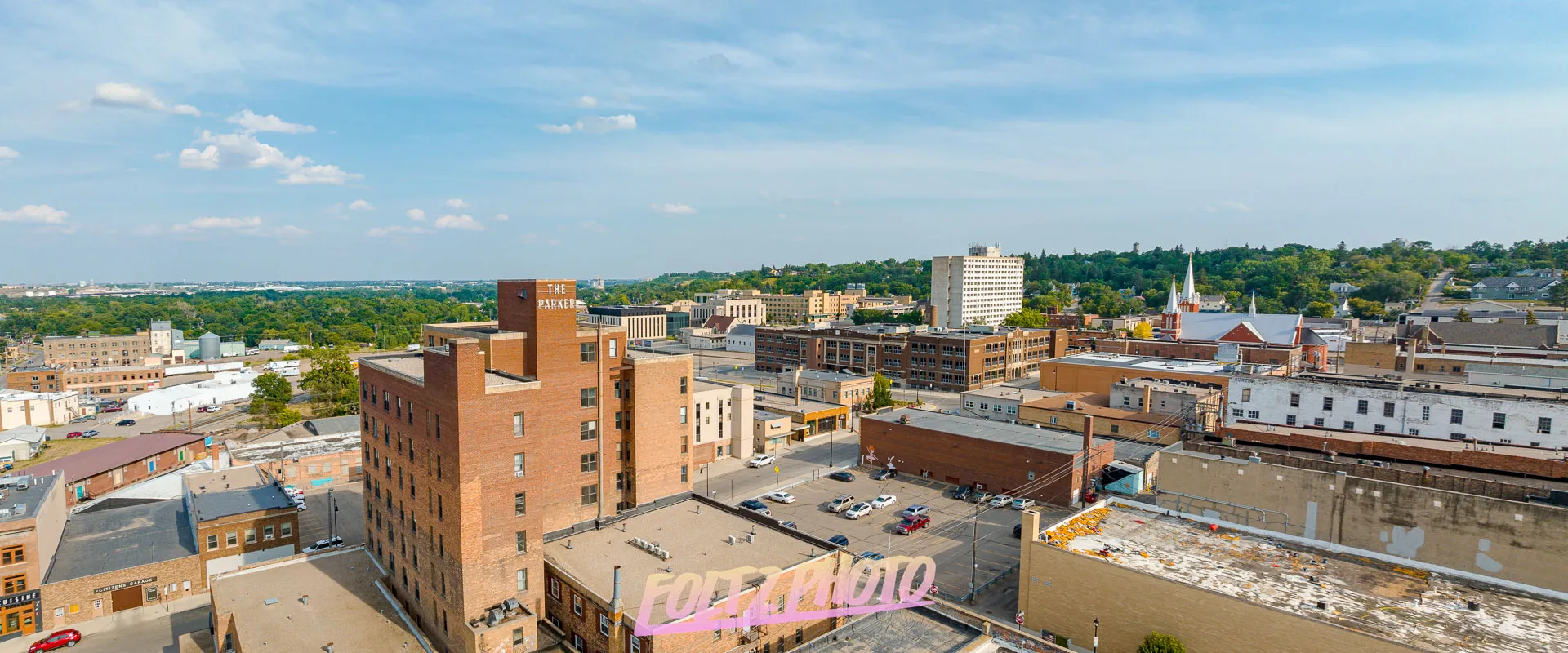
Aerial Photography in Minot, North Dakota
I am a Professional Aerial / Drone Photographer in North Dakota
North Dakota Drone/ Aerial Photography Services
I’ve always been drawn to the power of aerial imagery, and when modern drone photography became widely available, I saw the opportunity to bring professional aerial services to businesses across North Dakota. After learning the fundamentals with a borrowed drone, I invested in my own equipment, earned my FAA Part 107 certification, and began offering commercial drone photography for construction sites, real estate projects, and large outdoor spaces. Capturing high‑resolution aerial photos and videos quickly showed me how valuable drone imaging is for documenting progress, improving communication, and giving teams a clear visual understanding of their job sites. The elevated perspective provided by professional aerial photography helps businesses make informed decisions, highlight key project details, and showcase properties or operations with eye‑catching clarity. Drone photography also delivers unique marketing visuals that stand out online and effectively communicate the scale and story of your business. For companies seeking reliable aerial imagery without dealing with regulations, flight planning, or equipment, I provide fully licensed drone services designed to integrate smoothly with your workflow. I take pride in offering dependable, collaborative support and delivering high‑quality aerial files that help you promote your business, monitor progress, and complete your projects with confidence.
Aerial Photography
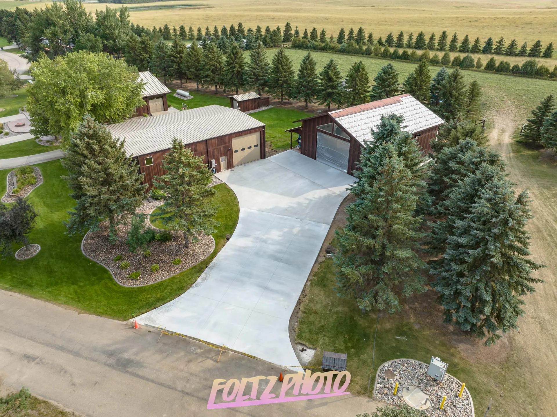
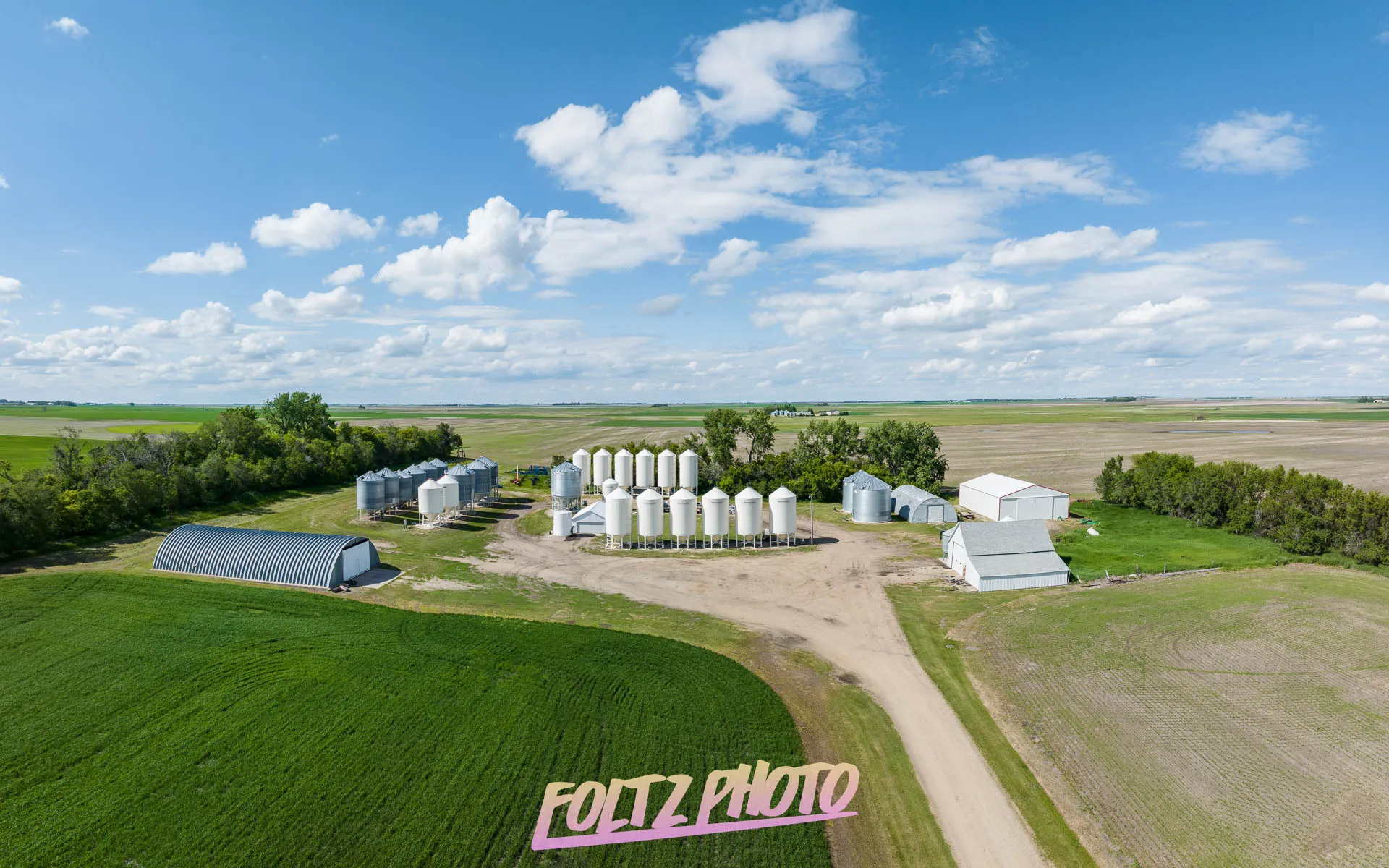
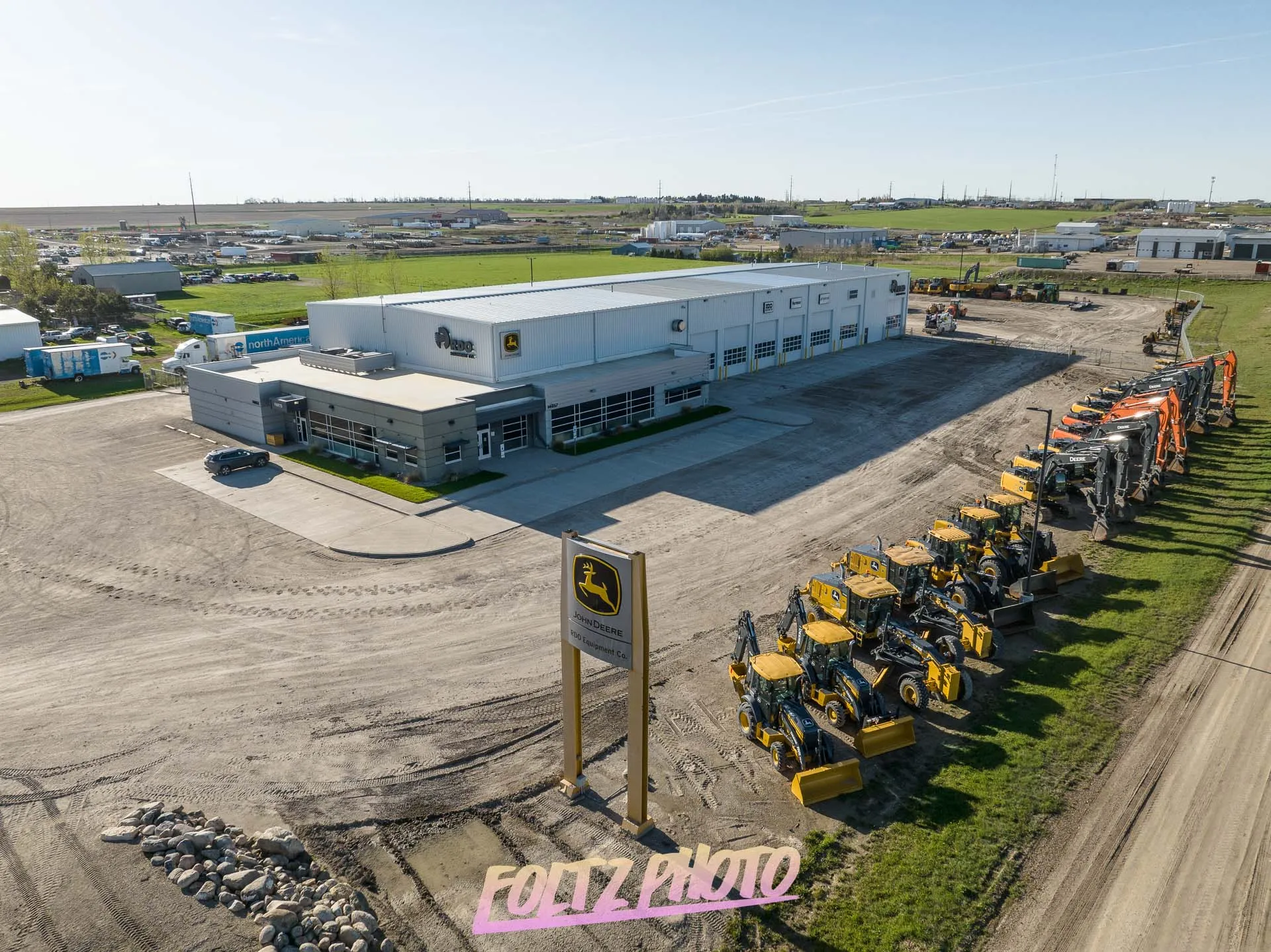
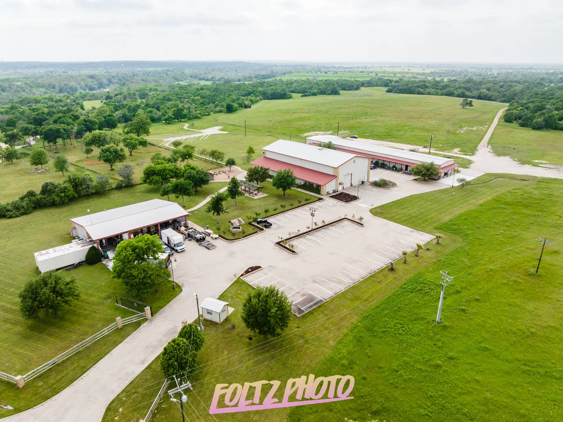
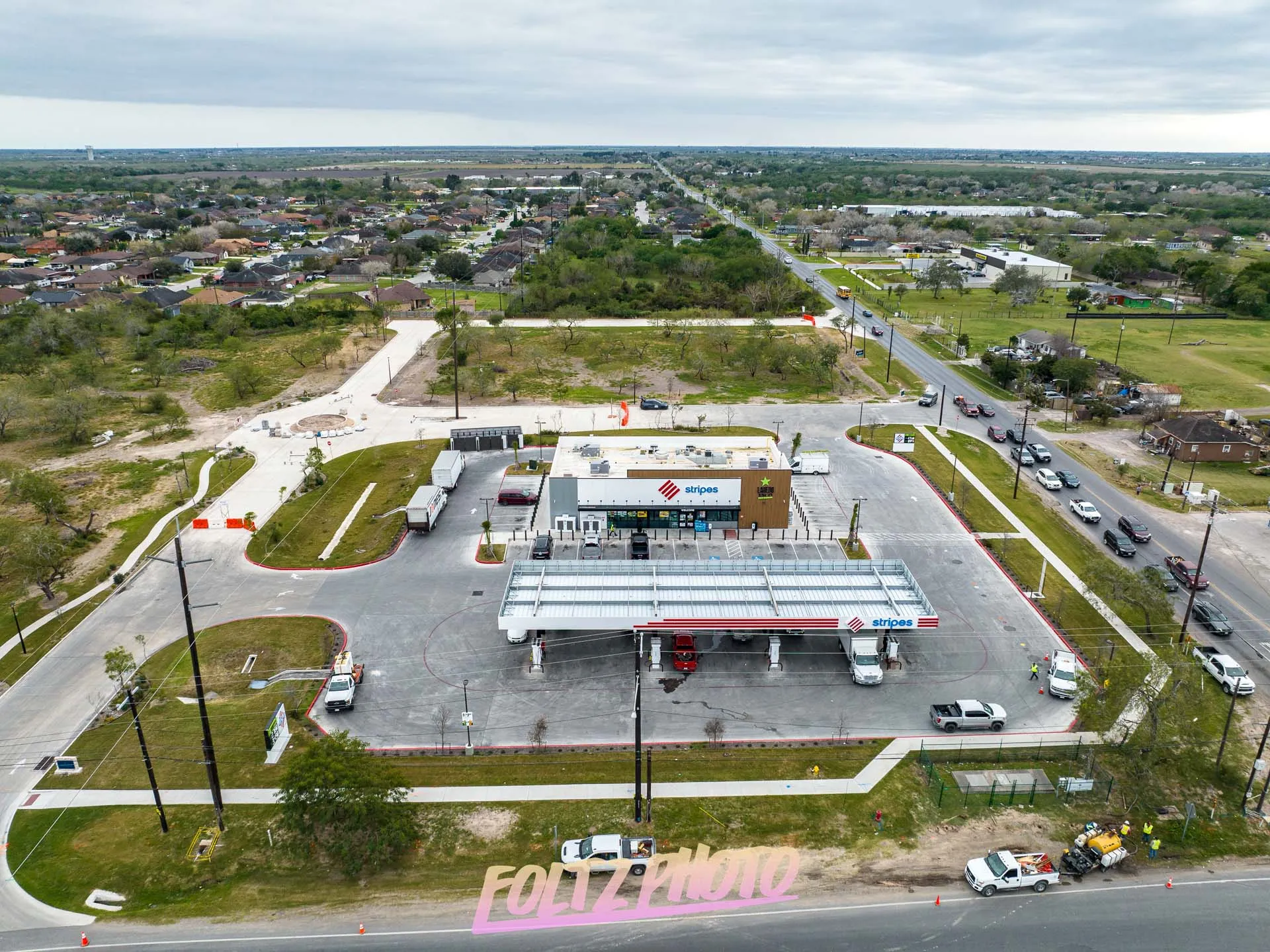
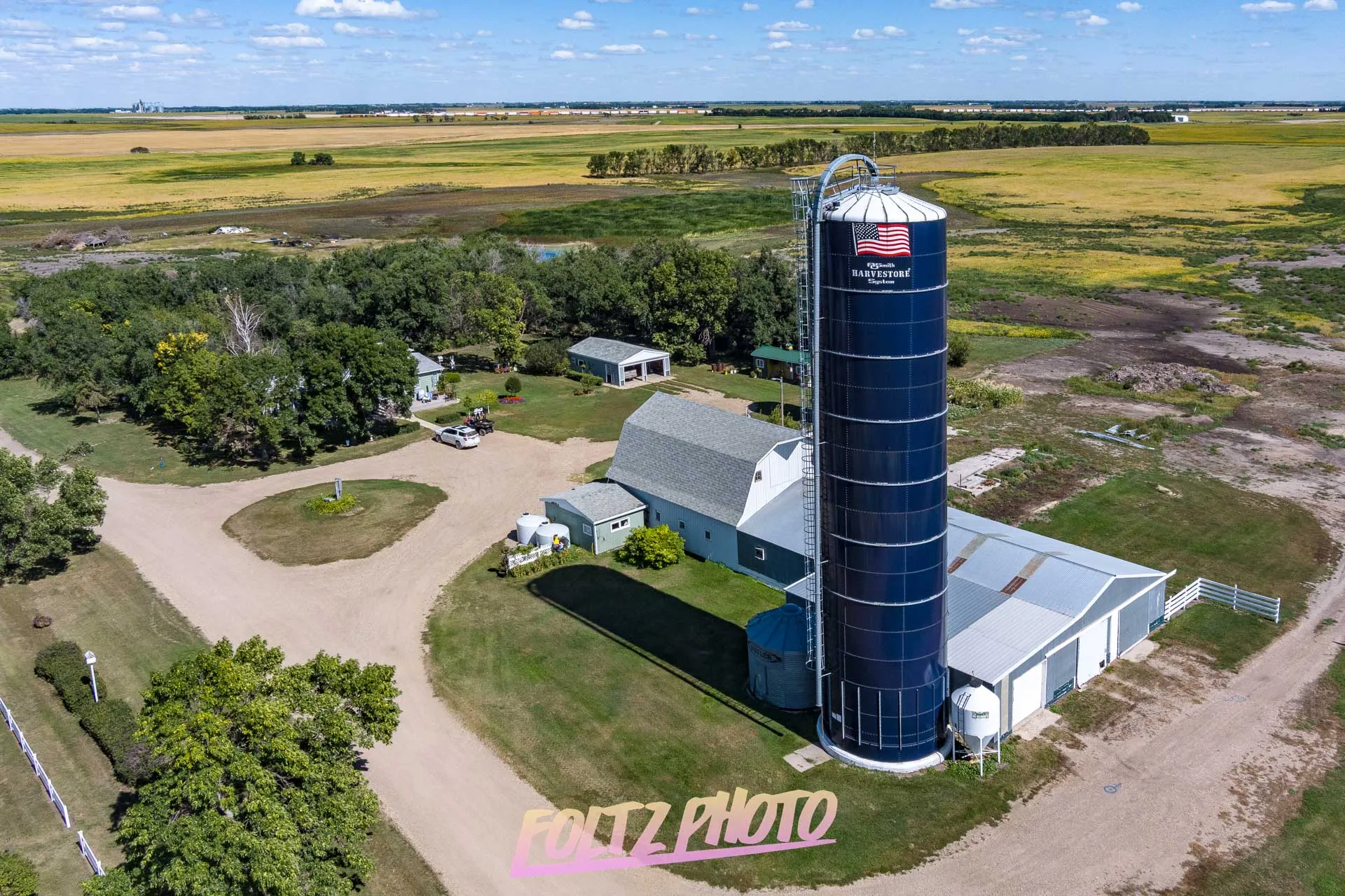
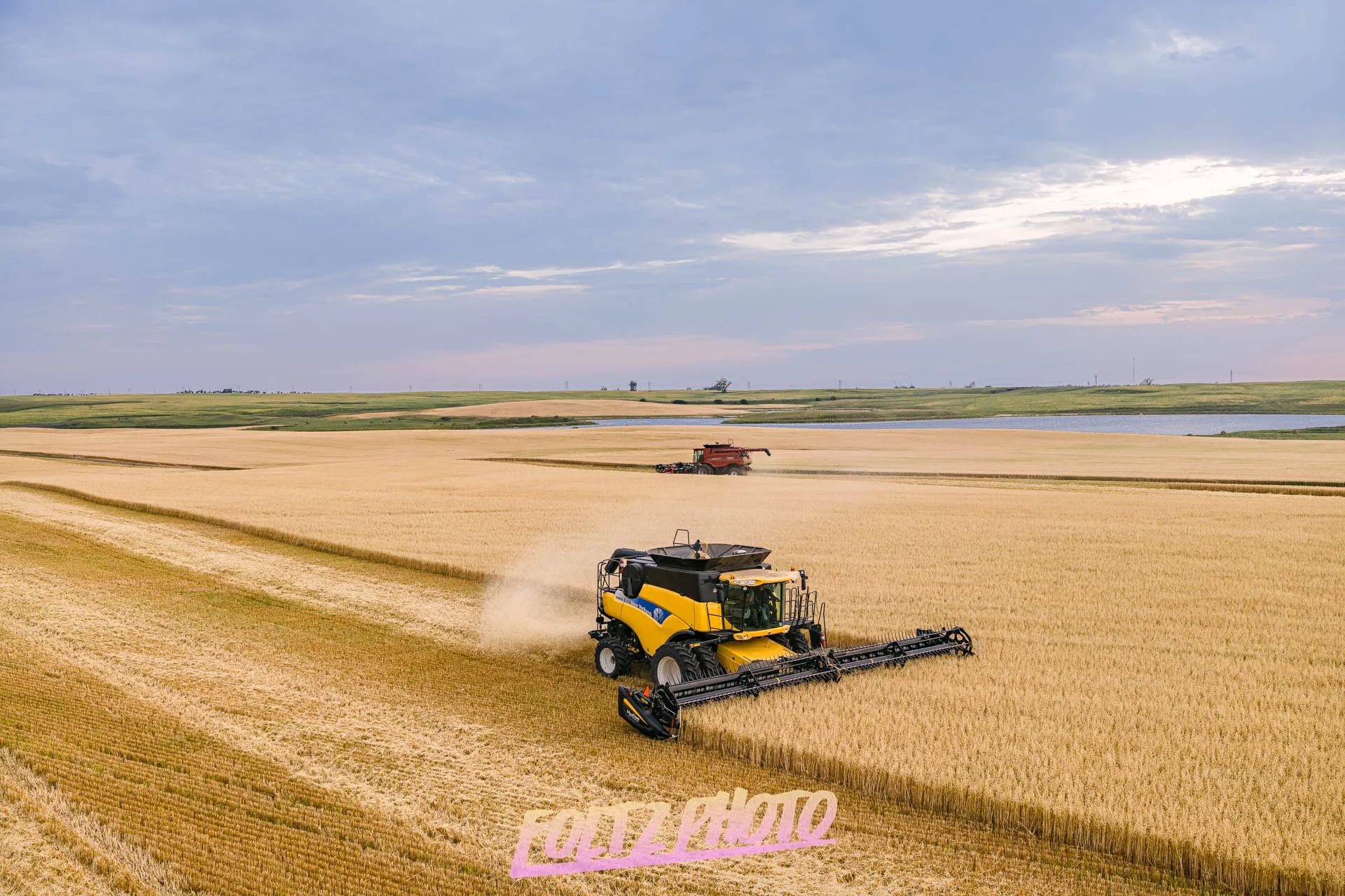
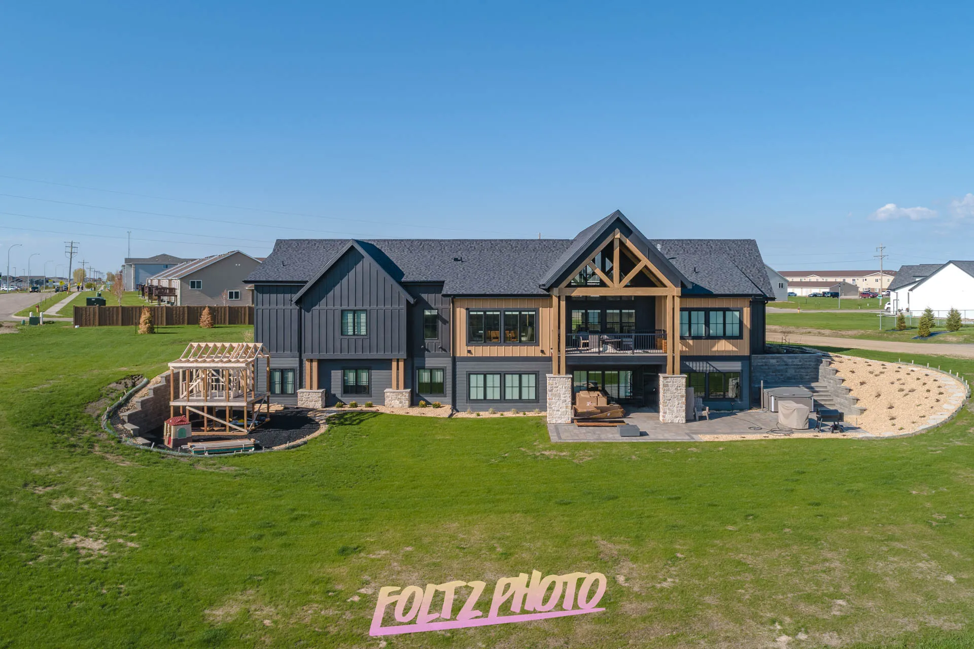
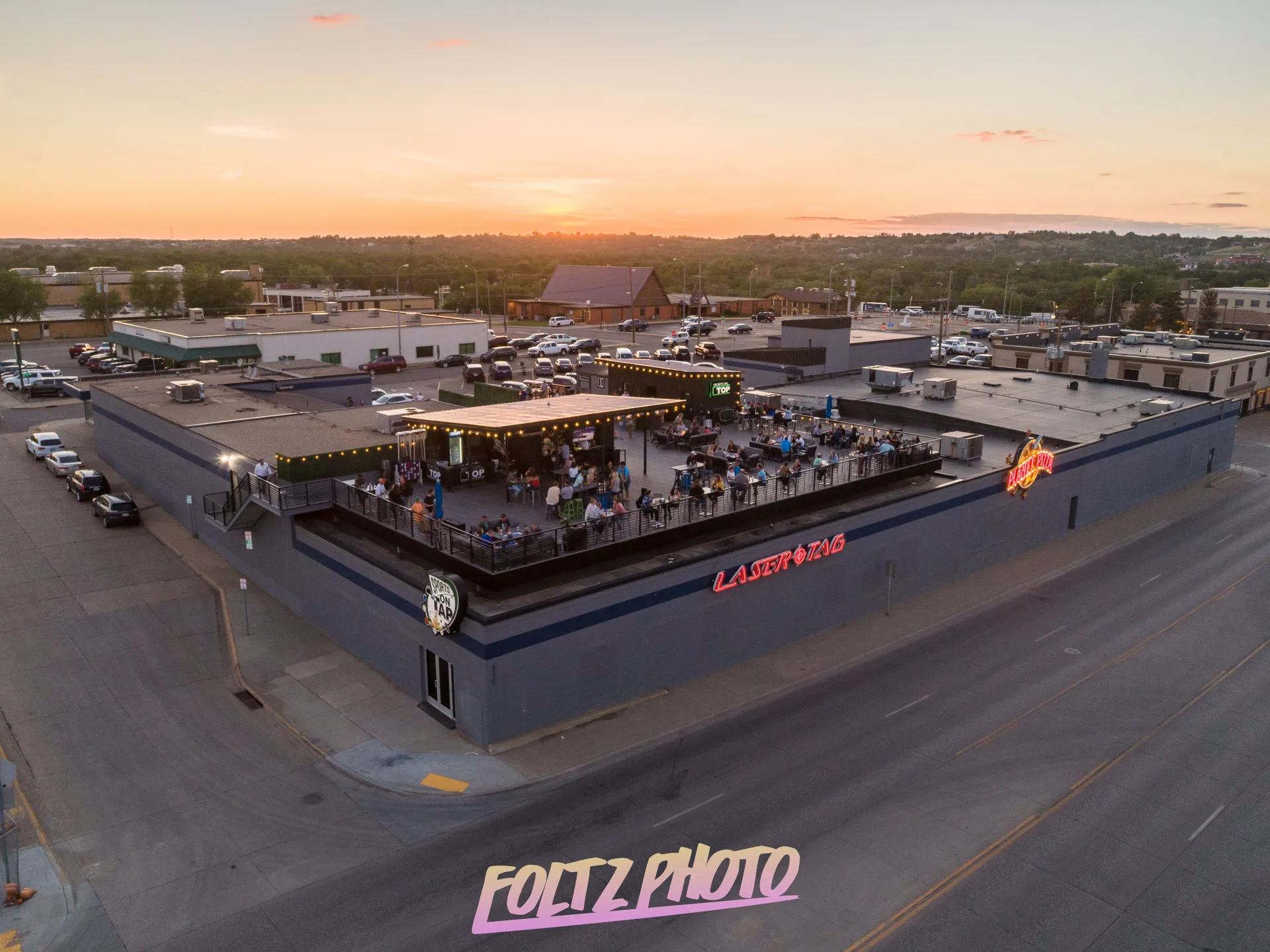
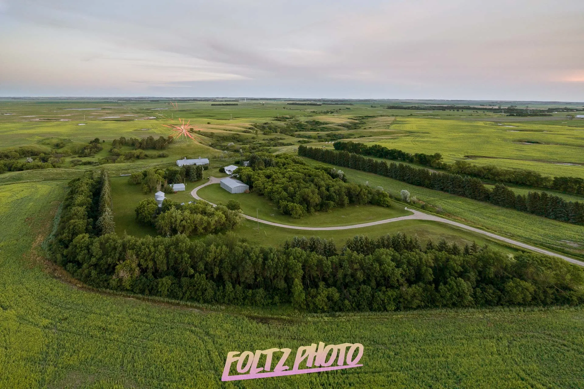
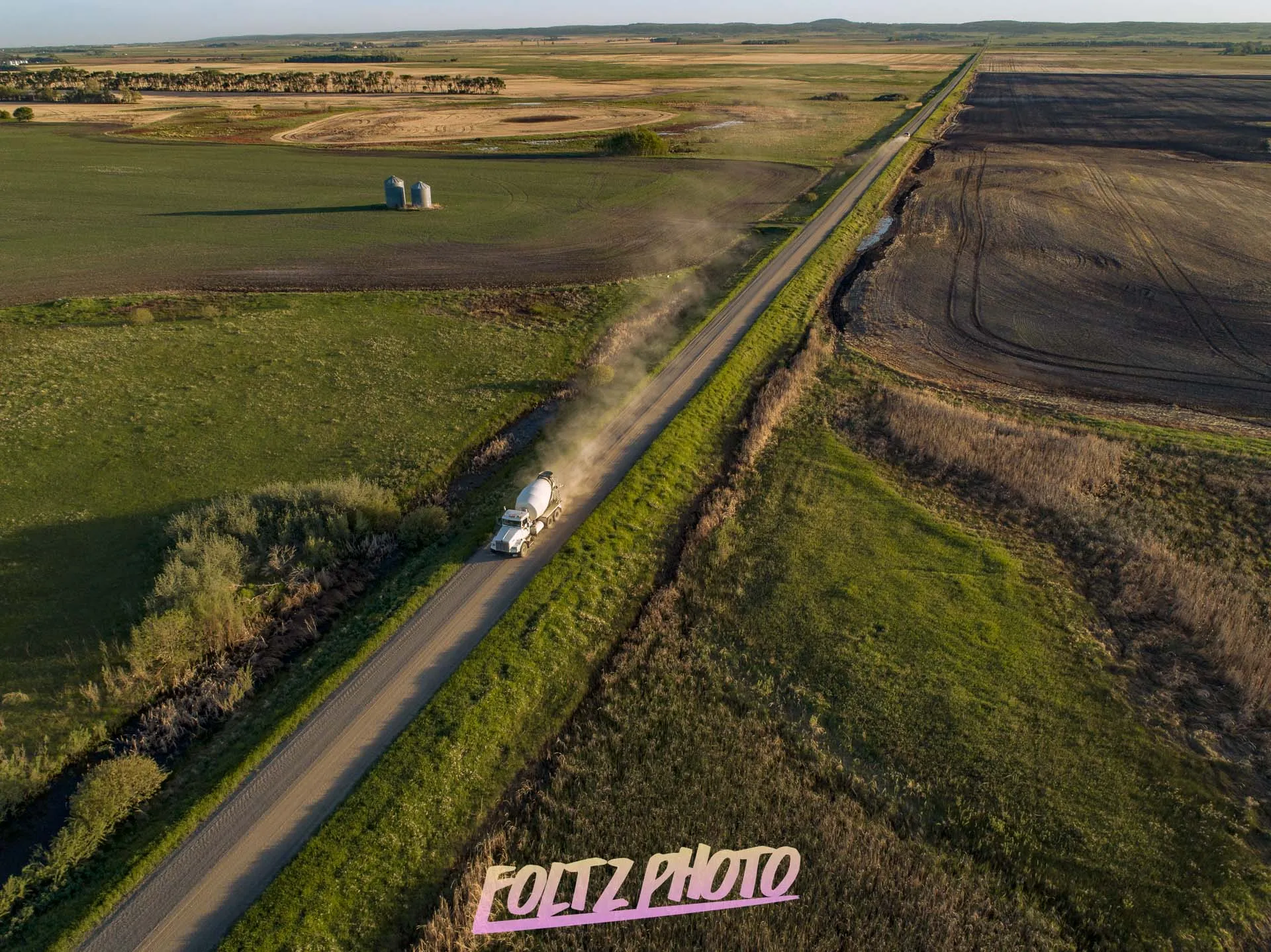
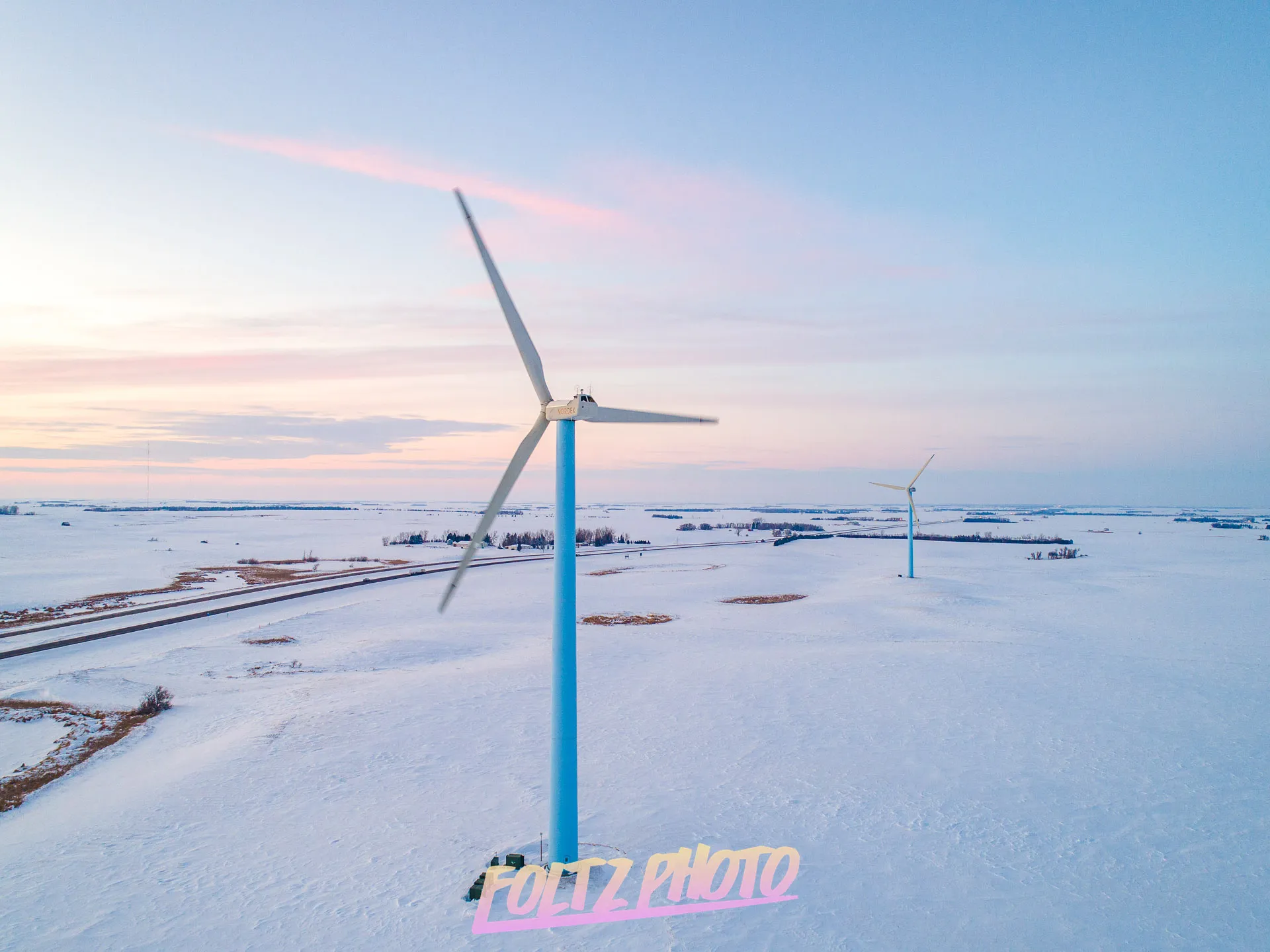
Our aerial photography services deliver high‑resolution drone images that showcase properties, construction sites, and commercial spaces with exceptional clarity. Using licensed drone technology, we capture elevated perspectives that enhance marketing, improve project documentation, and help businesses make informed decisions with professional, eye‑catching aerial visuals.
Aerial Videography
Our aerial videography services capture smooth, cinematic drone footage that highlights properties, construction sites, and commercial projects with dynamic clarity. Using licensed drone technology, we produce high‑quality 4K videos that elevate marketing, showcase progress, and give businesses powerful visual storytelling from an impressive aerial perspective.
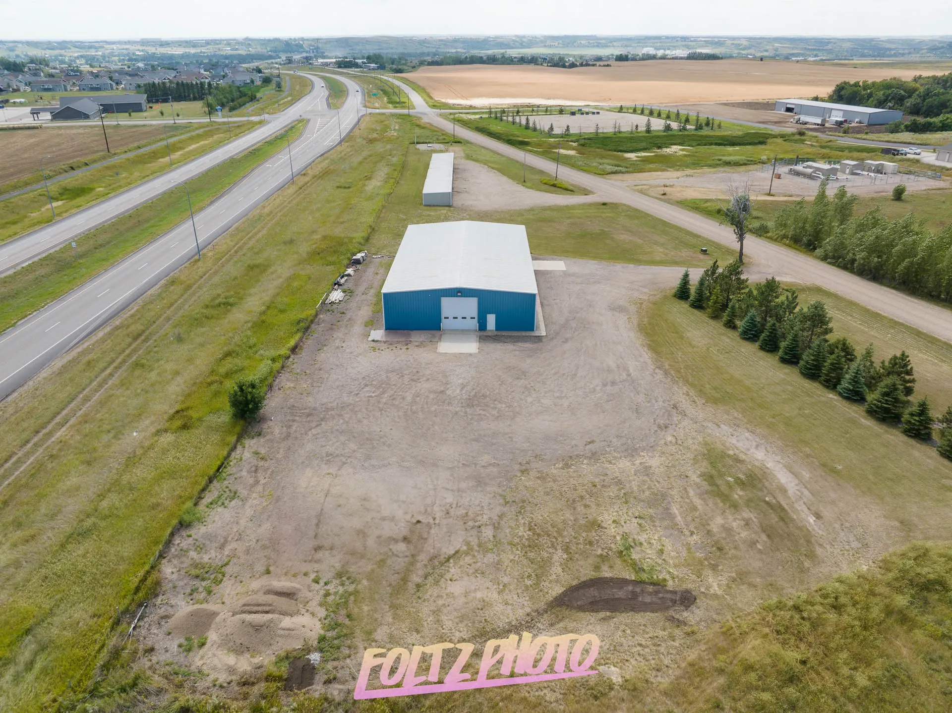
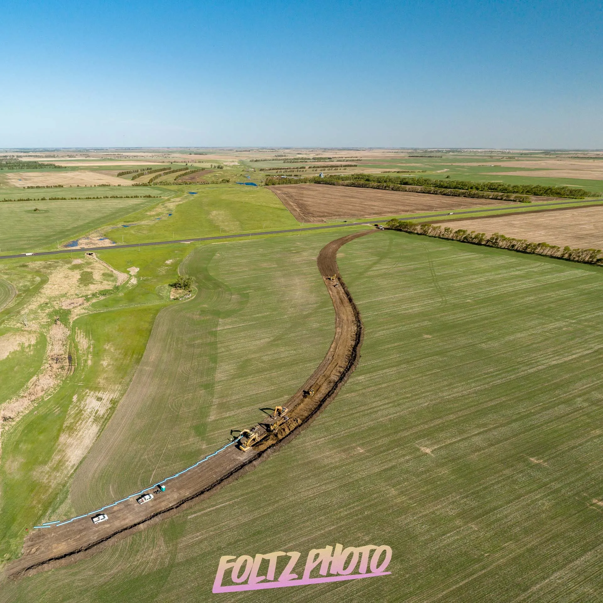
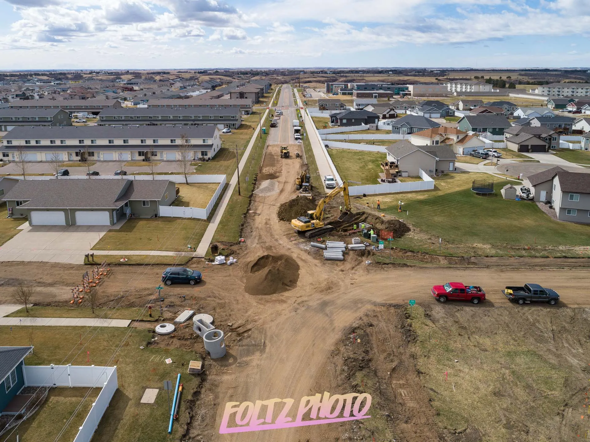
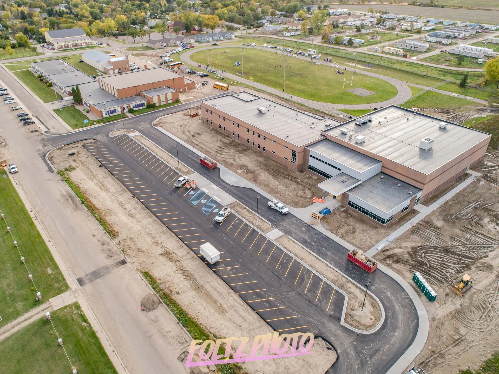
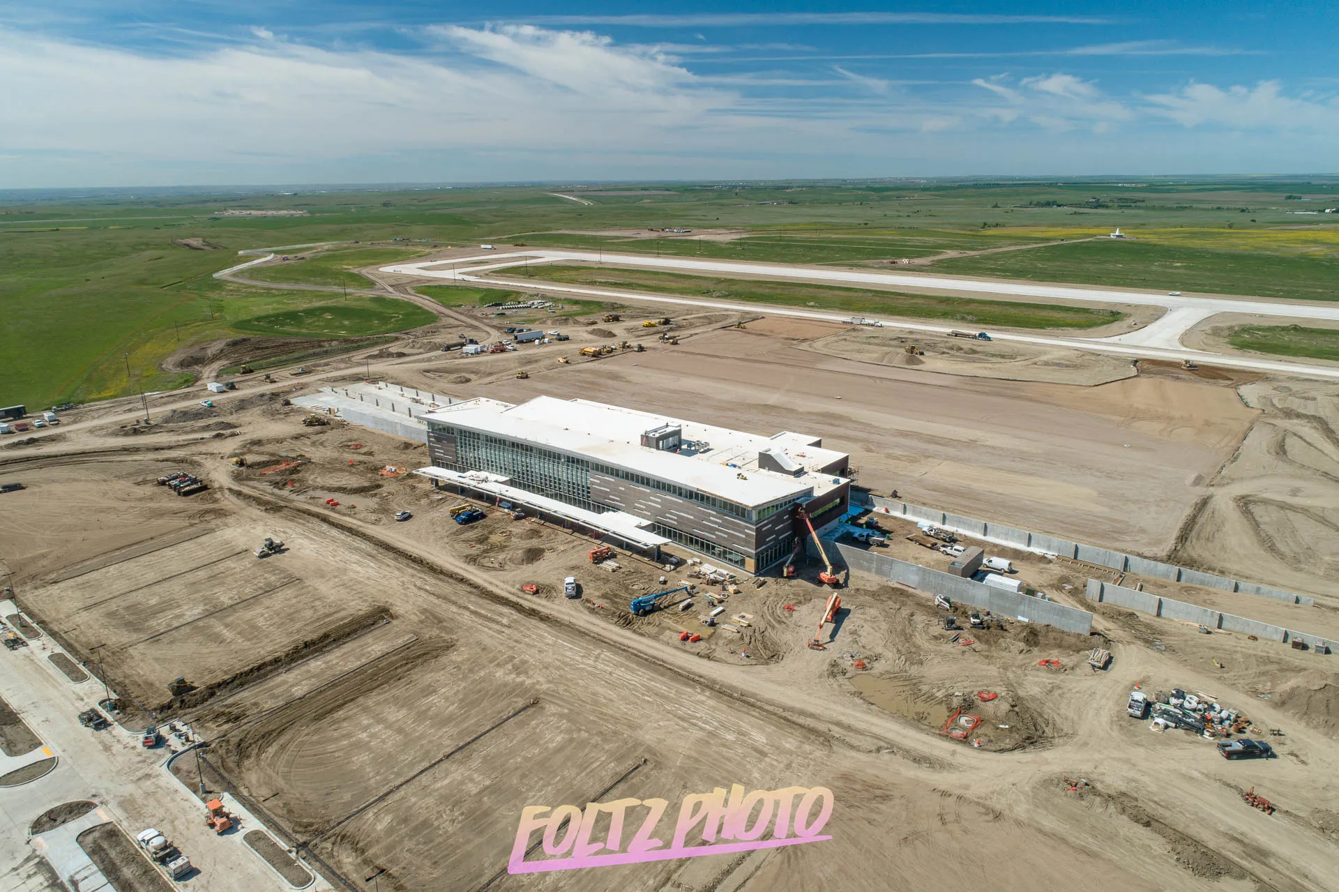
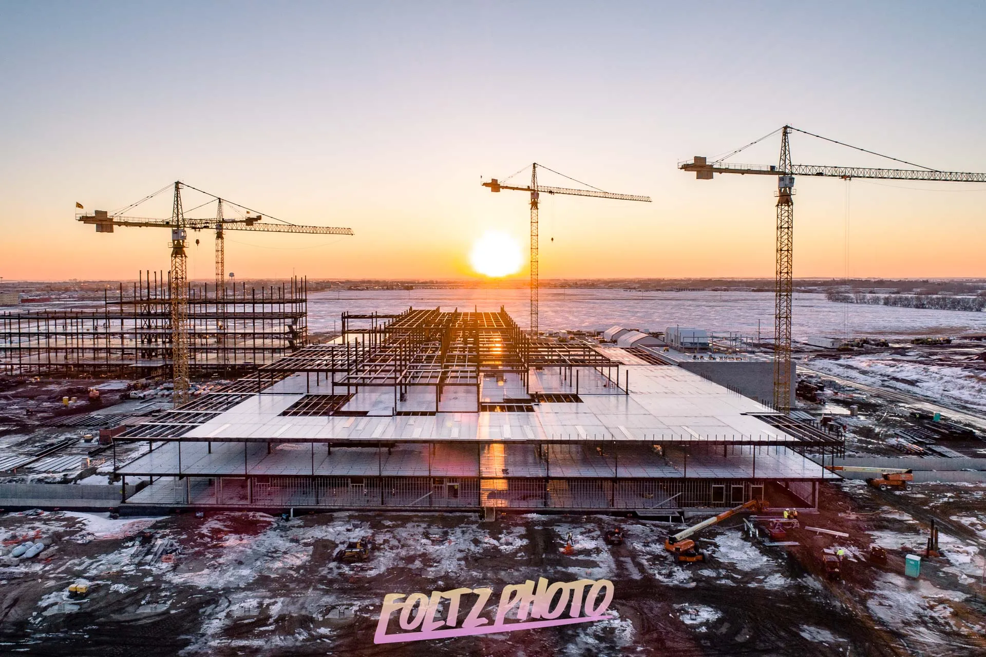
Construction Progress Monitoring
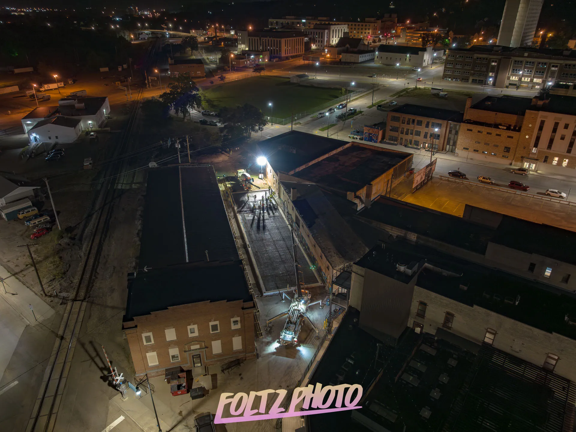
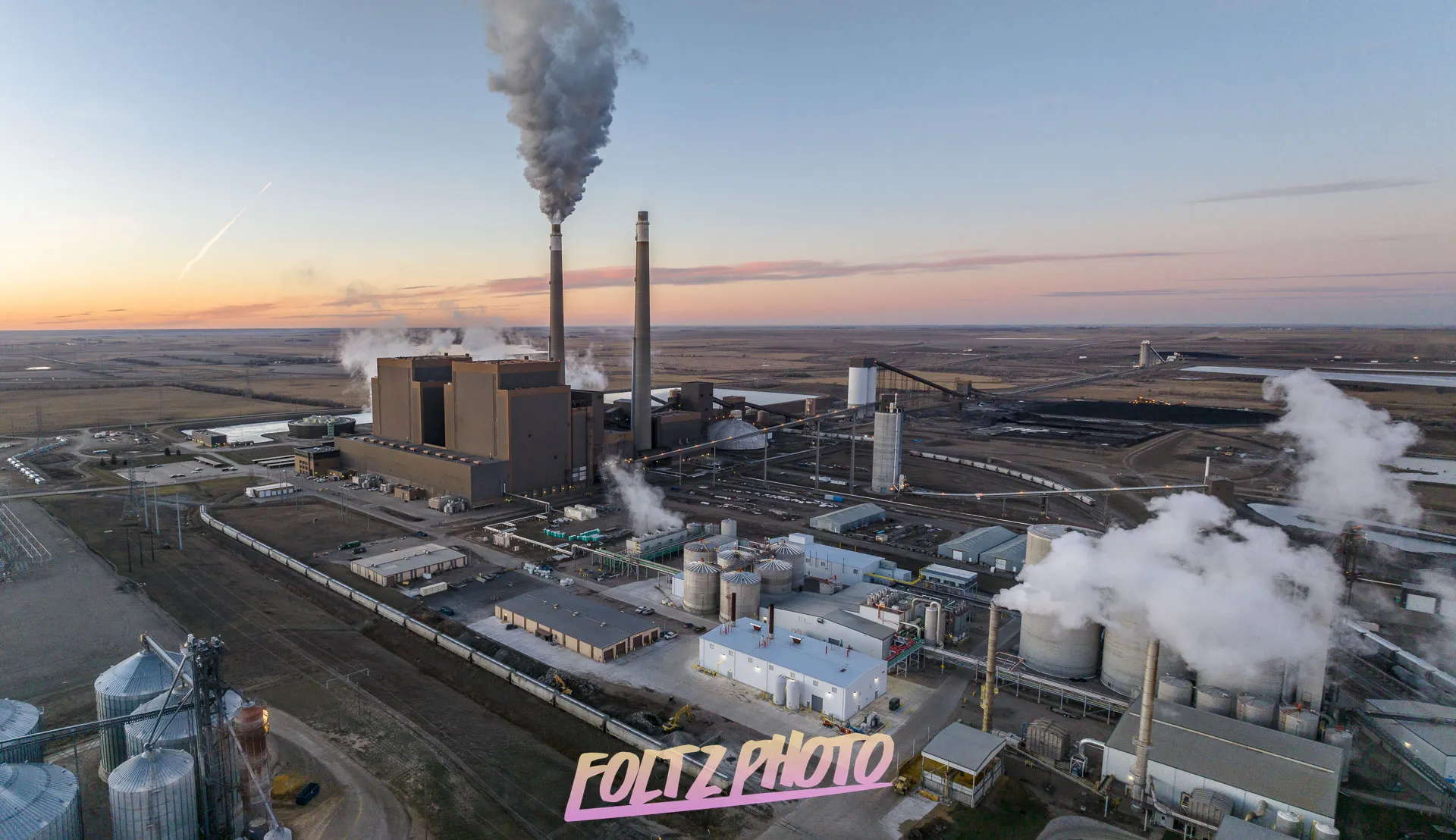
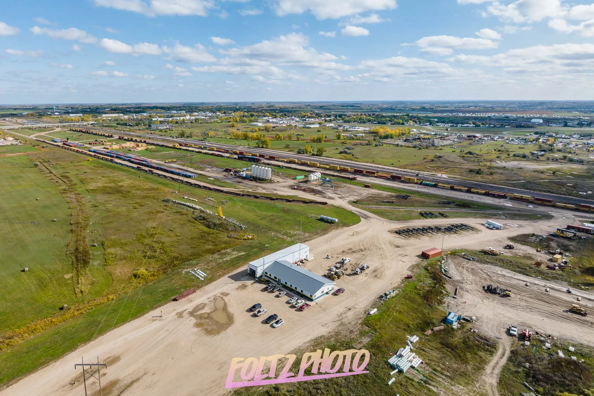
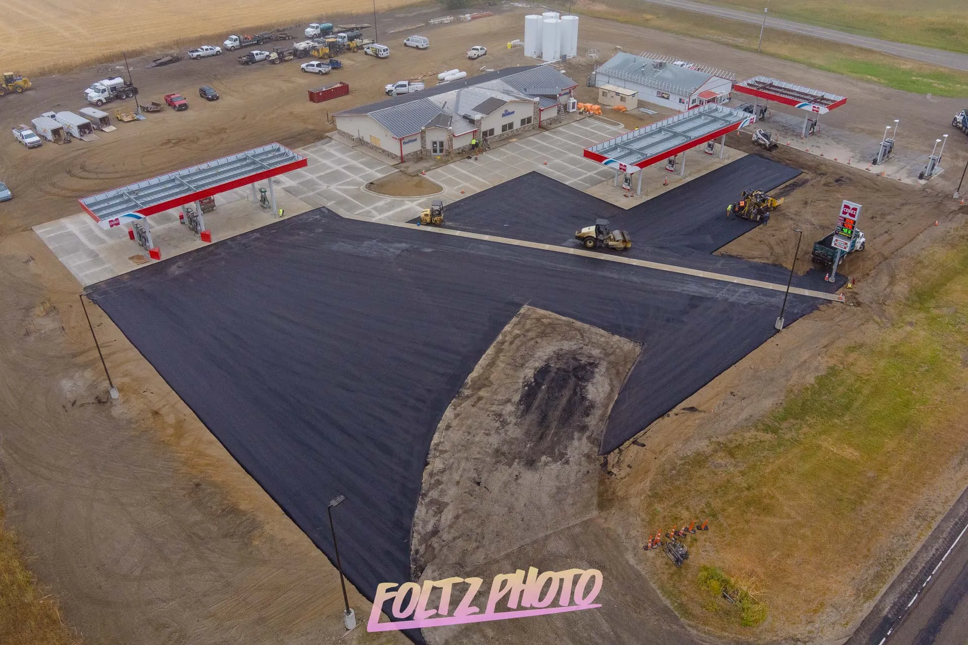
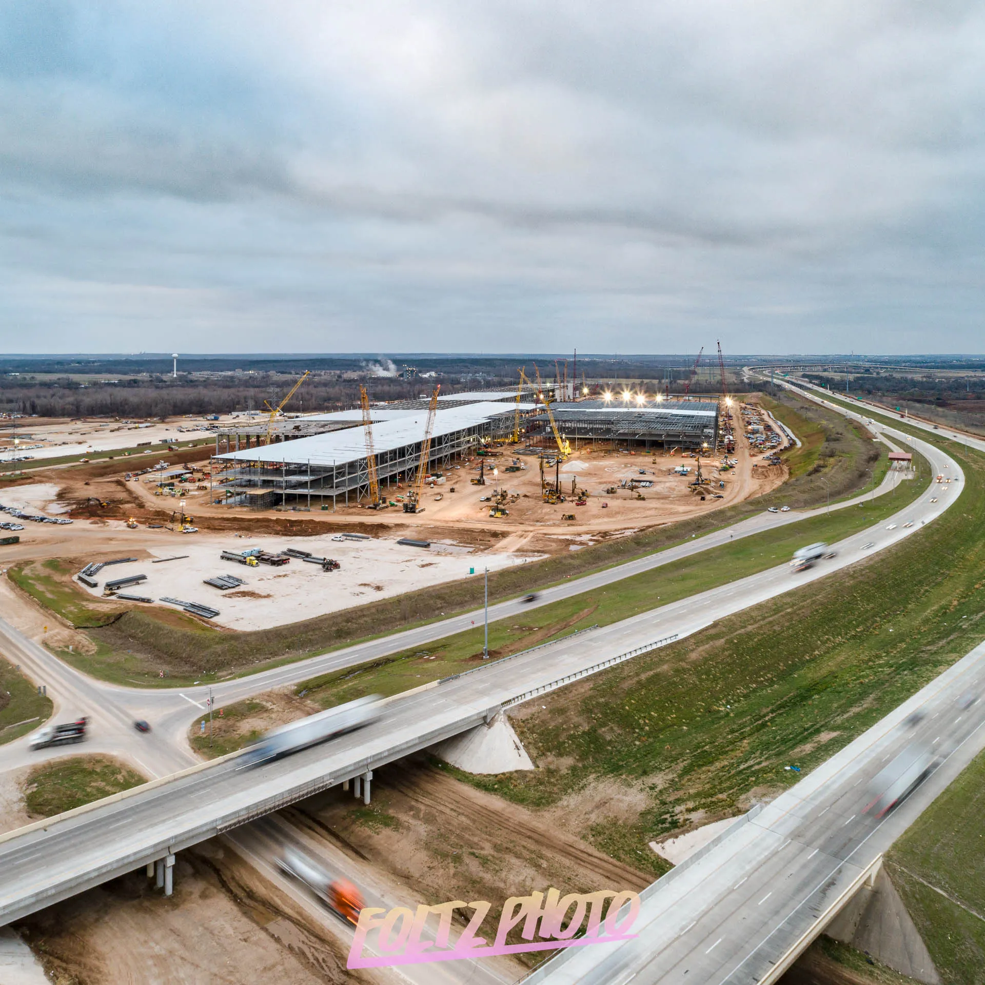
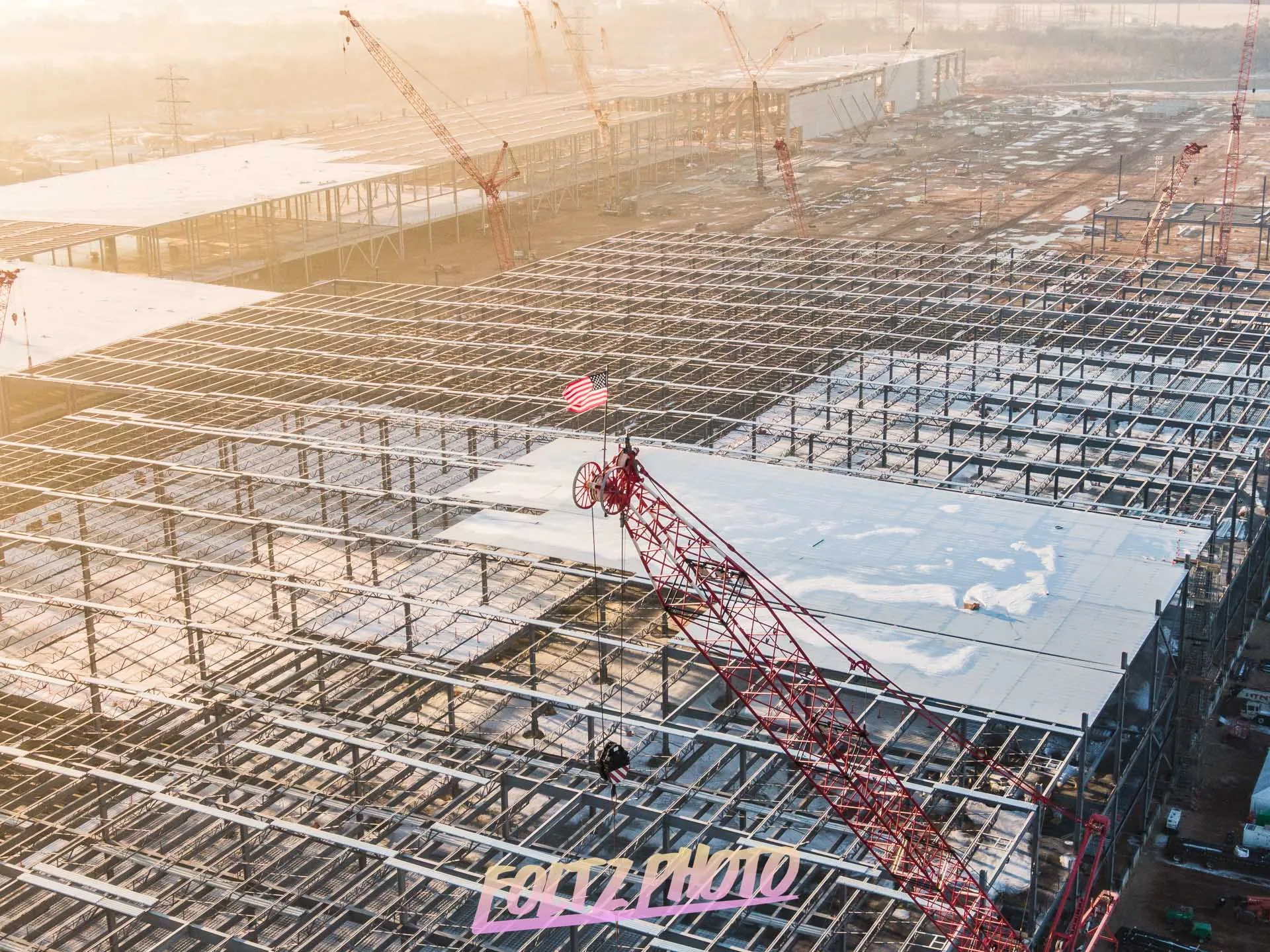
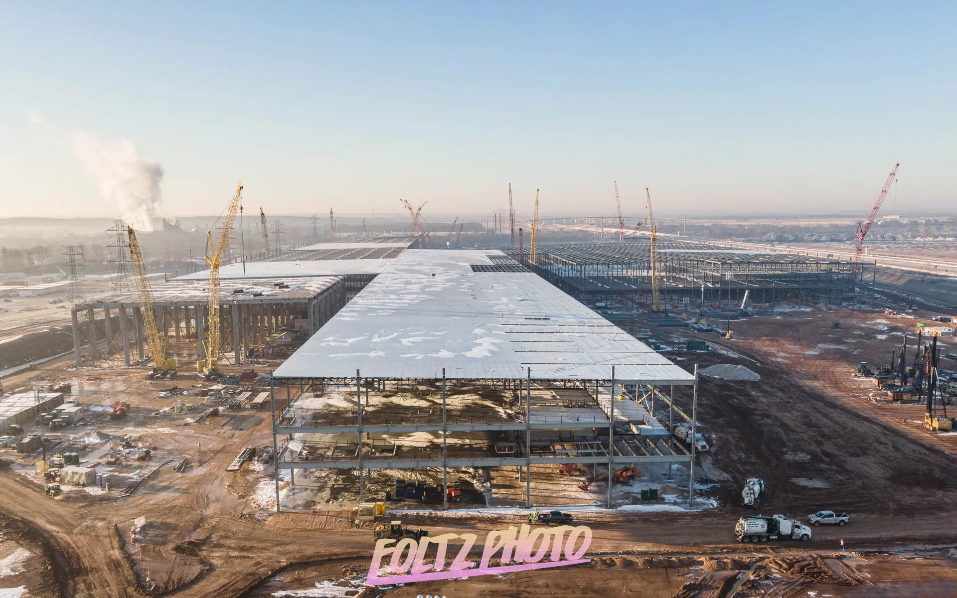
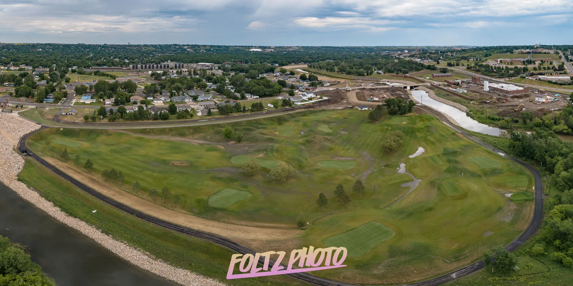
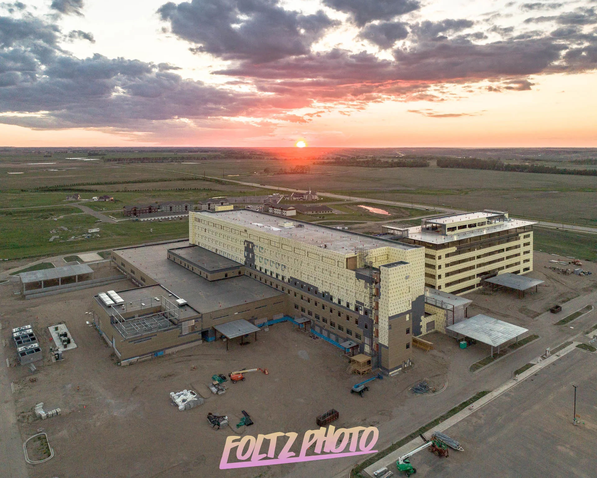
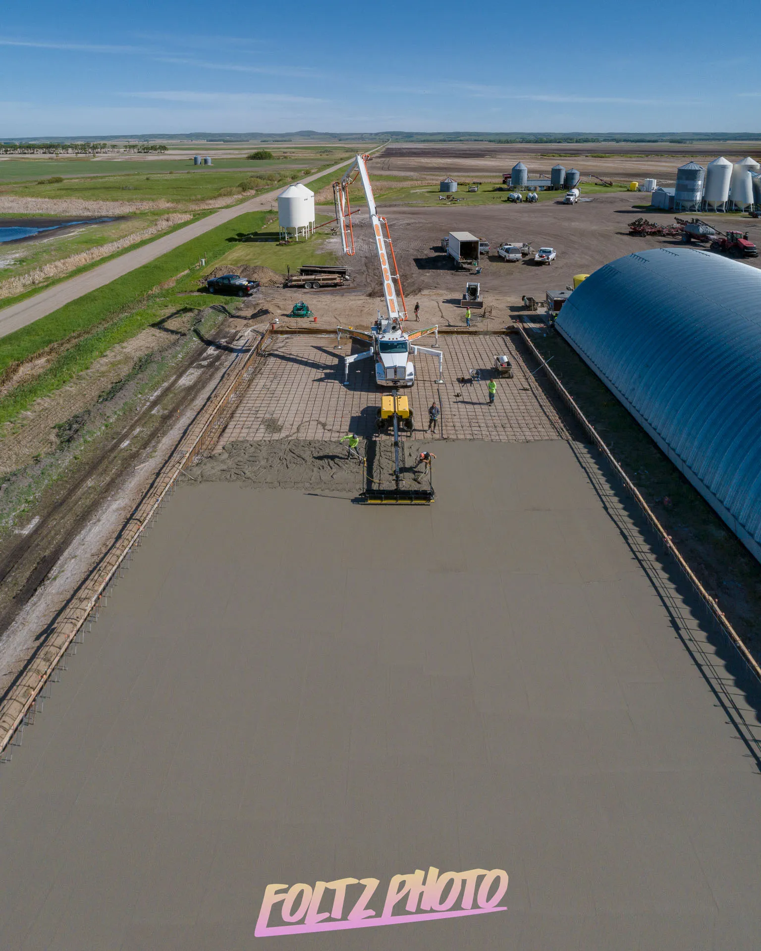
Our construction progress monitoring services use professional drone photography to capture consistent aerial updates of job sites. High‑resolution images document each phase, improve communication, support reporting, and help project managers track development, identify issues early, and maintain clear oversight across large construction areas.
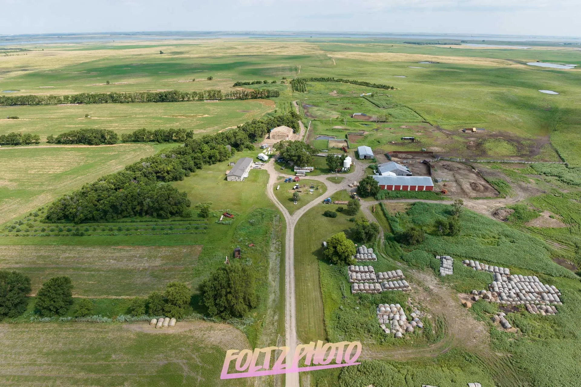
Real Estate Drone Services
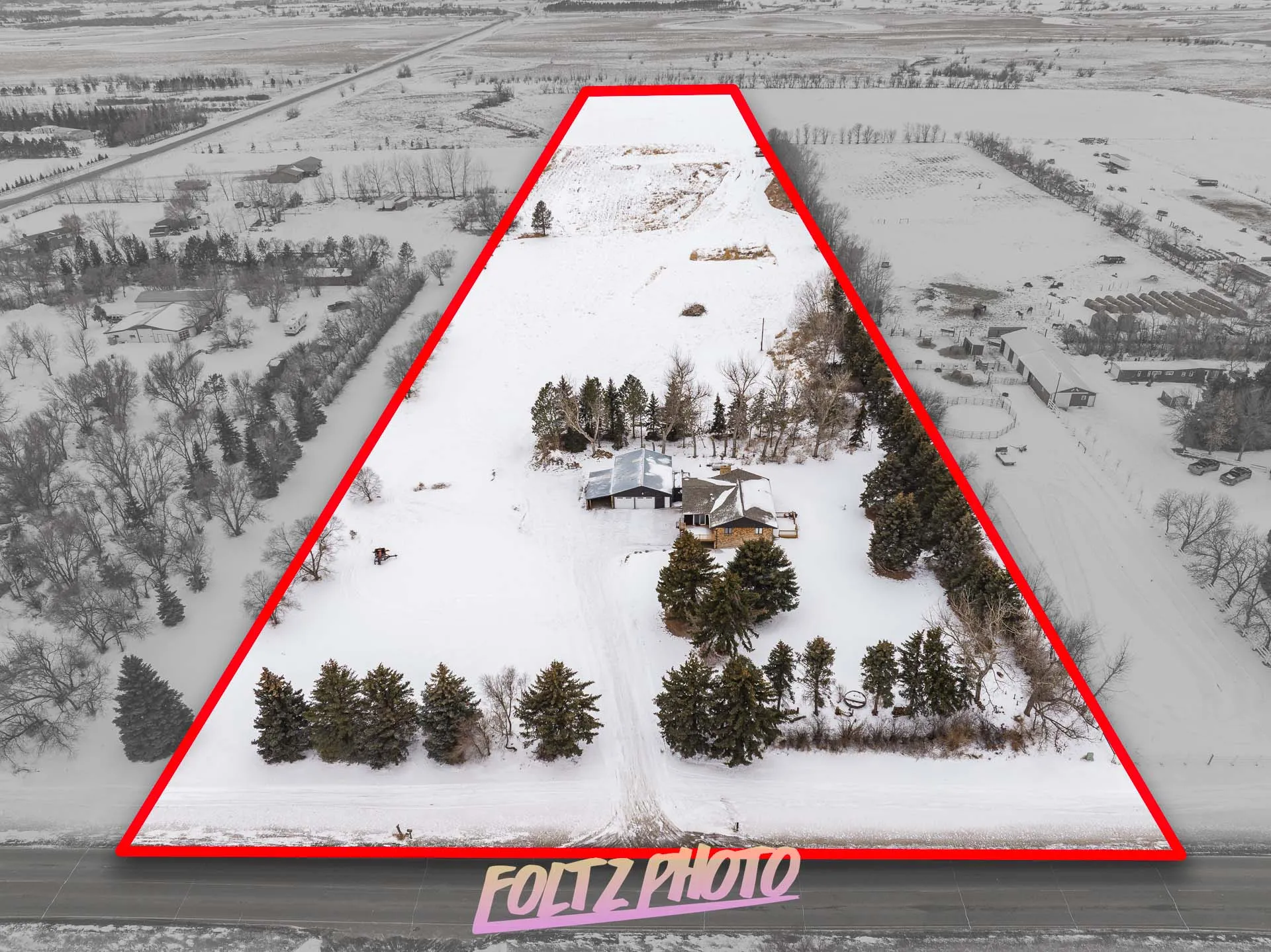
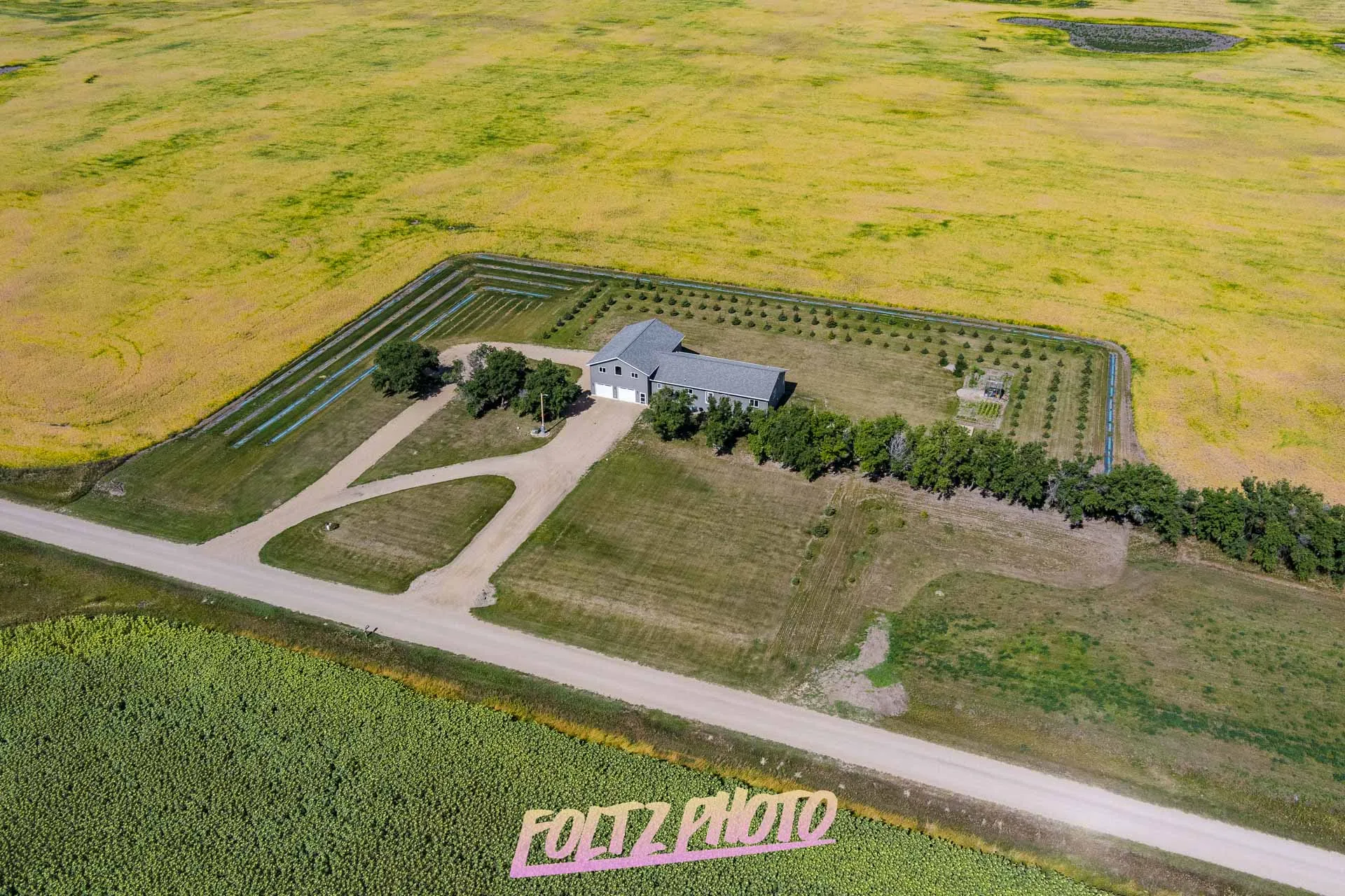
Our real estate drone services capture high‑resolution aerial photos and 4K videos that showcase properties with striking clarity. Drone imagery highlights lot size, surroundings, architecture, and key features, helping agents and sellers market listings, attract buyers, and present every property with a professional, elevated perspective.
Marketing & Branding Aerials
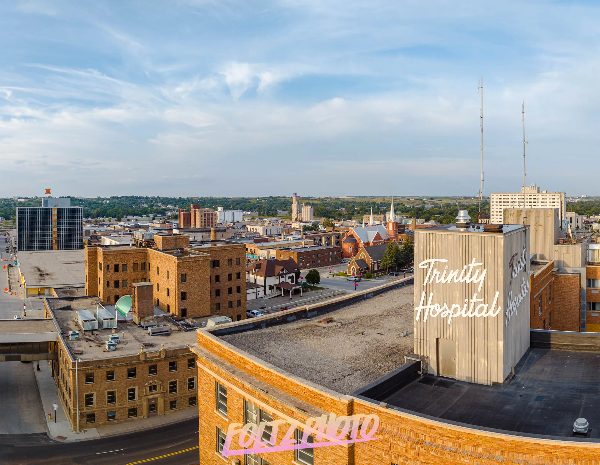
Our marketing and branding aerials deliver striking drone photos and videos that elevate your business presence. High‑quality aerial visuals showcase facilities, events, and landscapes with impact, helping brands stand out, strengthen campaigns, and create memorable content for websites, social media, and promotional materials.
Roof & Structural Inspections
Our roof and structural inspection services use high‑resolution drone photography to safely capture detailed aerial images of hard‑to‑reach areas. Drone inspections identify damage, document conditions, support insurance claims, and help property owners assess roofs, structures, and exterior surfaces quickly, accurately, and without costly manual access.
FOLTZ PHOTO
In 2019, I found it necessary to capture wider areas documenting construction work. This led me to experiment with orthomosaics and 3D modeling. An ortho-mosaic is created by capturing multiple pictures (30 to 30,000!) at set intervals by use of precise GPS flight planning software, and then stitching them together on a powerful computer. The result is a high-resolution image similar to what is seen on satellite imagery, but with higher accuracy, and as a bonus, 3D models can also be created from this imagery as well, giving a perfect recreation of what your site looked like at the time of capture. Using this method of photogrammetry allows one to take linear, area, and volume measurements from the resulting model, further extending the usefulness of using drone photography on your site! Using orthomosaics makes the area one can photograph in high resolution virtually limitless, because of the large variation in project sizes and levels of required accuracy, please contact me to discuss your project.