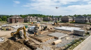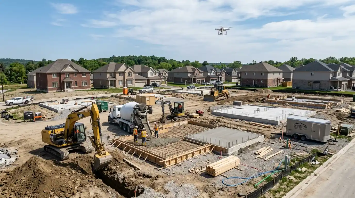

Large industrial sites are difficult to capture from the ground.
Whether it’s an energy facility, manufacturing plant, distribution center, construction project, processing operation, or expanding industrial campus, teams often struggle to document progress, monitor conditions, and communicate what’s happening across an entire property.
Traditional photography has its place, but when the goal is understanding a site at scale, ground-level images only tell part of the story.
That’s why industrial companies across North Dakota and nearby regions are increasingly using professional drone photography.
Drone documentation gives businesses a clear, efficient way to capture large industrial environments from above, creating visuals that support operations, reporting, project management, marketing, and long-term record keeping.
At FoltzPhoto, industrial drone photography is designed to help companies document complex sites with high-quality aerial imagery that turns large-scale operations into clear visual information.
Why Industrial Site Documentation Matters
Industrial facilities are constantly changing.
Equipment moves.
Buildings expand.
Project’s progress.
Infrastructure evolves.
Without reliable documentation, it becomes harder to track changes, communicate updates, and maintain accurate records.
Professional industrial photography supports:
- Project tracking
- Operational reporting
- Asset documentation
- Stakeholder communication
- Marketing and business development
- Site planning
- Historical archives
- Safety awareness
For facilities spread across dozens—or hundreds—of acres, aerial visibility becomes especially valuable.
Why Ground Photography Alone Isn’t Enough
Photographing industrial operations from the ground creates limitations.
You can capture details, but understanding the overall site becomes difficult.
Ground-based documentation often misses:
- Facility scale
- Equipment relationships
- Site organization
- Construction progress
- Traffic flow
- Material staging
- Infrastructure changes
Drone photography fills those gaps.
Aerial imagery connects the details into a complete visual story.
What Is Industrial Drone Photography?
Industrial drone photography uses professional aerial imaging equipment to capture high-resolution photos and video across industrial properties.
Unlike casual drone footage, professional documentation focuses on consistency, planning, and usable business outcomes.
Industrial drone services can include:
- Aerial still photography
- Site overview imagery
- Progress documentation
- Infrastructure recording
- Equipment visibility
- Timeline documentation
- Marketing visuals
- Periodic site updates
The result is a more complete understanding of what’s happening across a property.
1. Capture the Full Scale of Large Industrial Operations
Industrial sites are often too large to document effectively from the ground.
A drone provides a broader perspective.
From a single flight session, teams can document:
- Entire facilities
- Storage areas
- Transportation routes
- Utility systems
- Equipment placement
- Site development
This wide-angle visibility makes reporting and decision-making more efficient.
Instead of stitching together dozens of photos, teams receive organized aerial documentation.
2. Track Industrial Projects More Clearly
Industrial projects move through multiple phases.
Examples include:
- Facility expansion
- Infrastructure upgrades
- Site preparation
- Equipment installation
- Capital improvement projects
Drone photography creates repeatable documentation over time.
This allows teams to compare:
- Before and after conditions
- Milestone completion
- Project development
- Operational changes
Visual tracking often improves communication far more than written summaries alone.
3. Improve Communication Across Teams and Stakeholders
Industrial projects involve many people.
Operations leaders.
Investors.
Executives.
Contractors.
Clients.
Everyone wants updates—but not everyone visits the site.
Drone photography creates a simple way to communicate progress visually.
Professional aerial documentation helps:
- Reduce reporting confusion
- Provide project transparency
- Improve presentations
- Deliver visual updates remotely
When stakeholders can see conditions directly, conversations become more productive.
4. Create Long-Term Visual Records of Industrial Assets
Industrial documentation isn’t only for today.
It becomes valuable years later.
Professional drone photography creates historical records that support:
- Expansion planning
- Facility management
- Marketing
- Insurance documentation
- Internal reporting
- Portfolio development
Over time, these visuals become a valuable archive of how operations evolved.
5. Support Marketing and Business Development
Industrial businesses don’t always think about photography as a marketing tool.
But strong visuals influence perception.
Professional aerial imagery helps showcase:
- Facility scale
- Operational capabilities
- Project success
- Company growth
- Equipment investment
These images can strengthen:
- Websites
- Proposal packages
- Recruitment campaigns
- Presentations
- Investor materials
Professional documentation becomes a business asset—not just a record.
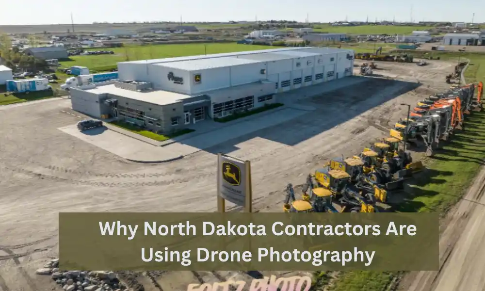
Why Drone Photography Makes Sense in North Dakota
North Dakota industries often operate across wide-open areas and large facilities.
Industrial operations in the region frequently include:
- Energy development
- Manufacturing
- Agriculture infrastructure
- Logistics operations
- Commercial construction
- Industrial processing
Because sites are spread out geographically, aerial documentation becomes an efficient way to capture the complete picture.
Instead of relying on multiple site visits and fragmented reporting, businesses gain centralized visual records.
For teams operating throughout North Dakota and nearby areas, professional drone coverage can improve both visibility and communication.
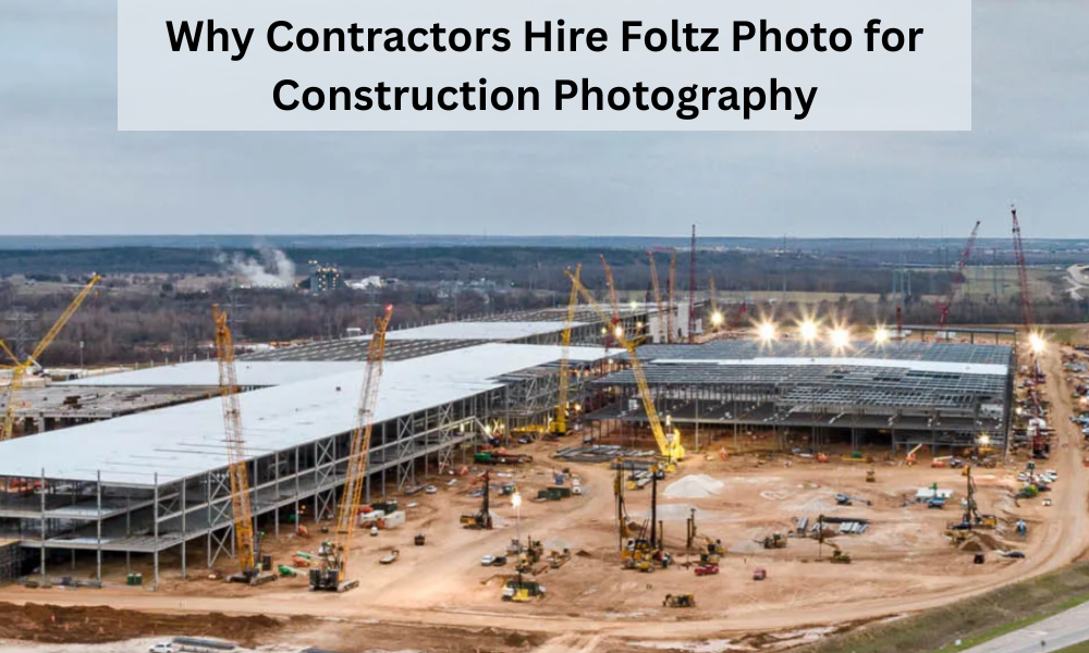
Why Work With FoltzPhoto for Industrial Drone Photography
Industrial photography requires more than flying over a property.
Effective documentation means understanding scale, consistency, and business goals.
FoltzPhoto provides professional drone photography services designed to help industrial companies document operations with clarity and professionalism.
Businesses choose FoltzPhoto for:
- Industrial aerial photography
- Large-site documentation
- Construction and development coverage
- Commercial visual storytelling
- Consistent project tracking
- High-resolution deliverables
Whether you’re documenting an expanding industrial facility, recording project milestones, or creating visual assets for stakeholders, professional drone imagery can make complex sites easier to understand.
How to Prepare for an Industrial Drone Documentation Session
To get the best results:
Define the purpose
Decide whether the goal is tracking, marketing, reporting, or long-term records.
Schedule around operations
Choose times that reduce disruption.
Identify priority areas
Highlight equipment, structures, and active work zones.
Plan recurring documentation
Consistent intervals create stronger comparisons over time.
Final Thoughts
Large industrial sites generate a lot of activity—and documenting that activity shouldn’t feel overwhelming.
Drone photography gives industrial teams a practical way to monitor growth, communicate progress, and preserve valuable visual records.
From facility overviews and project updates to stakeholder reporting and marketing assets, aerial documentation creates visibility that traditional photography often can’t provide alone.
For industrial companies across North Dakota and surrounding areas, FoltzPhoto delivers professional drone photography that helps transform complex sites into clear, organized visual stories.
Frequently Asked Questions
How often should industrial drone photography be scheduled?
Many companies choose monthly, quarterly, or milestone-based documentation depending on project activity.
Is drone photography useful for operational facilities?
Yes. Existing facilities often use aerial imagery for reporting, documentation, and marketing.
Can industrial drone images support proposals and presentations?
Absolutely. Professional aerial visuals help communicate capability and project scale.
Are drone services only for construction projects?
No. Industrial documentation supports operations, facilities management, and long-term planning as well.
What deliverables are included?
Most projects receive professionally edited aerial photos and organized digital delivery for easy internal and external use.