

Commercial Aerial Photography
Aerial Photography
in Minot & Across
North Dakota
High-quality drone and aerial photography for construction, oil & gas, industrial, and commercial businesses. Get the perspective you need to showcase your project, track progress, and make a lasting impression.
Aerial Photography for North Dakota Businesses
Professional Aerial
Photography Services
Foltz Photo provides commercial aerial photography for businesses across North Dakota. Based in Minot, we work with construction companies, oil & gas operators, industrial facilities, real estate professionals, and marketing teams to capture powerful, high-resolution images and video from above.
Learn More About Us →
Our Perspective
Our Aerial Photography Services
Commercial Drone & Aerial Photography Services
From wide-angle site overviews to detailed close-ups, we deliver the imagery you need—on time and on budget.

Commercial Aerial Photography
High-resolution aerial images for marketing, documentation, and business presentations.
Learn More →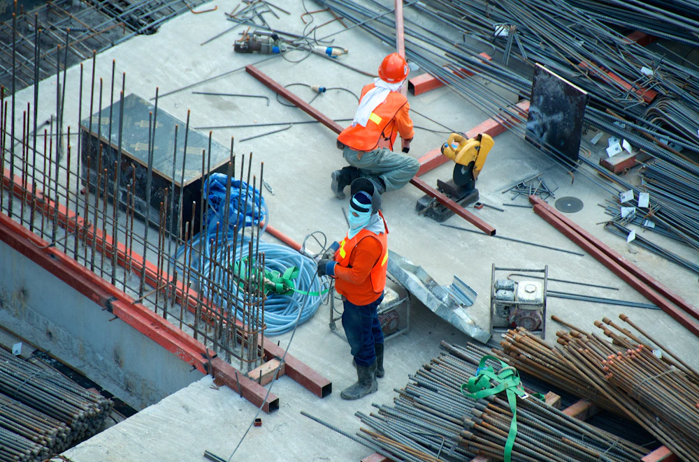
Construction Aerial Photography
Track progress, monitor sites, and keep stakeholders informed with up-to-date visuals.
Learn More →
Oil & Gas Aerial Photography
Capture your assets, infrastructure, and operations with stunning airborne imagery.
Learn More →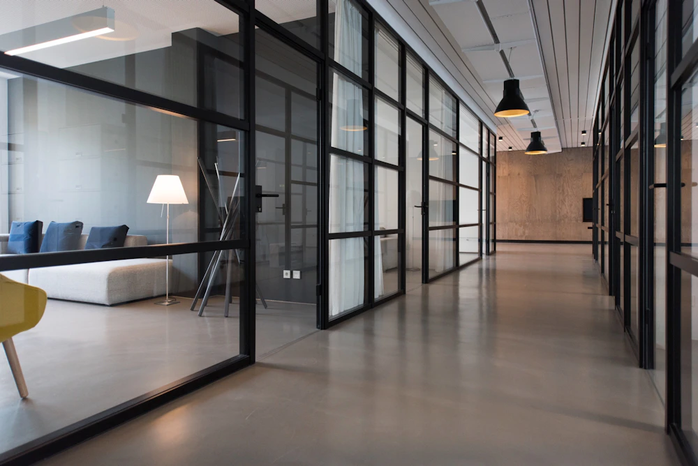
Industrial Aerial Photography
Showcase your facilities, equipment, and operations from a unique perspective.
Learn More →
Aerial Videography
Smooth, cinematic drone video for marketing, inspections, and project updates.
Learn More →
Construction Progress Monitoring
Regular aerial updates to track milestones and keep your project on schedule.
Learn More →
Real Estate Drone Photography
Stunning aerial views for listings, commercial properties, and land development.
Learn More →
Roof & Structural Inspections
Detailed imagery to assess roof conditions, structural issues, and maintenance needs.
Learn More →
Industries We Serve
Aerial Photography for Construction & Oil & Gas
The construction and energy sectors rely on accurate, up-to-date visuals to make better decisions. Our aerial photography helps you document progress, improve safety, and present your projects with confidence.
Request a Quote →Construction Companies
- • Site progress tracking
- • Project documentation
- • Marketing and proposals
Oil & Gas Companies
- • Well sites and facilities
- • Pipeline and infrastructure
- • Environmental monitoring
Industrial Businesses
- • Facility and equipment shots
- • Inventory and asset management
- • Corporate communications
Agriculture & Land Development
- • Farm and ranch photography
- • Land surveys and mapping
- • Property development
Why Choose Foltz Photo
Why Businesses Choose Foltz Photo
FAA Certified & Fully Compliant
Safe, legal, and professional operations.
Commercial Focus
Built for businesses, not just hobbyists.
High-Resolution Imagery
Crisp, detailed photos and 4K video.
Experience with Large Scale Projects
From local sites to multi-location projects.
Local Knowledge
Based in Minot, serving all of North Dakota.
More Than Just Aerial Photos
Mapping, Orthomosaics & More
In addition to standard aerial photography, we also offer photogrammetry, orthomosaic mapping, and measurement imagery. These tools provide accurate site data, detailed maps, and valuable reference material for planning, construction, and analysis.
Recent Aerial Photography
Project Gallery
A look at some of our recent aerial photography work across North Dakota.
View Full Portfolio →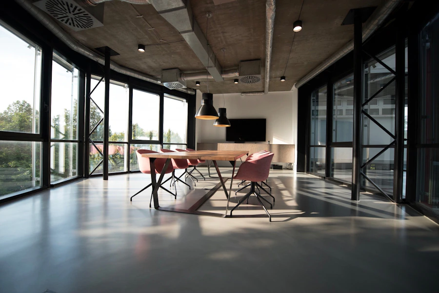



Frequently Asked Questions
Common Questions
How much does aerial photography cost in North Dakota? +
Every project is different. Pricing depends on location, scope, deliverables, and flight requirements.
Where does Foltz Photo provide aerial photography? +
We are based in Minot and serve commercial clients throughout North Dakota.
Do you provide drone photography for construction projects? +
Yes. We provide one-time site photos and recurring construction progress documentation.
Can you photograph oilfield and industrial sites? +
Yes. We capture facilities, infrastructure, equipment, and operations safely and professionally.
Do you provide aerial video? +
Yes. We offer smooth, high-resolution aerial video for marketing and documentation.
How far do you travel for commercial projects? +
We travel throughout North Dakota and can discuss nearby regional projects.
How quickly can we receive the images? +
Turnaround depends on the project, but commercial delivery is always handled promptly.
Are you FAA certified? +
Yes. Flights are performed safely, legally, and in compliance with FAA requirements.
Discuss Your Project
Discuss Your Aerial Photography Project